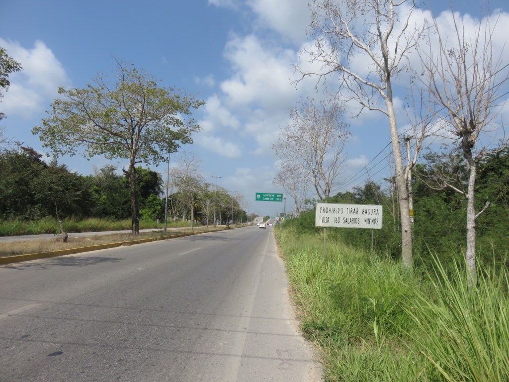
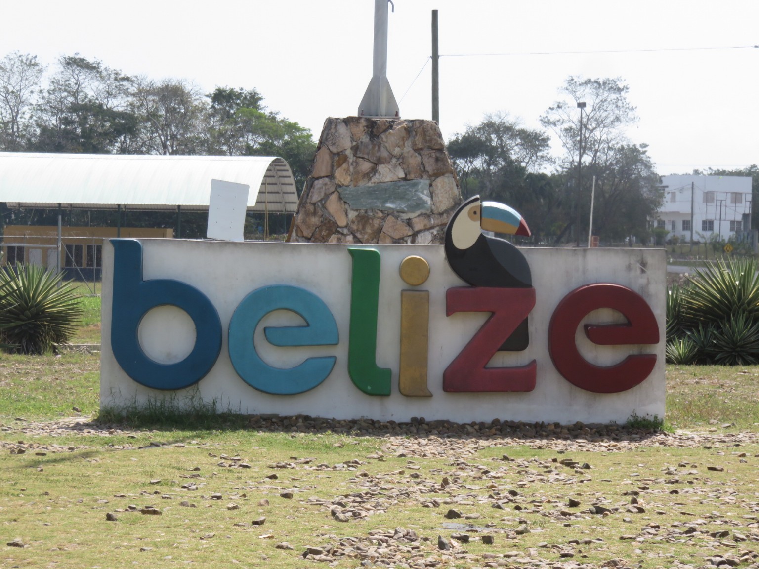
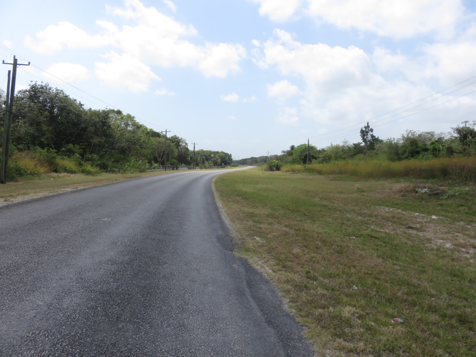
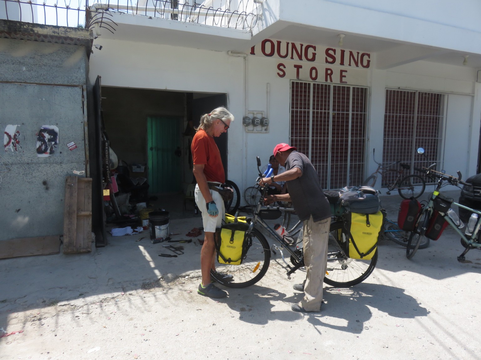
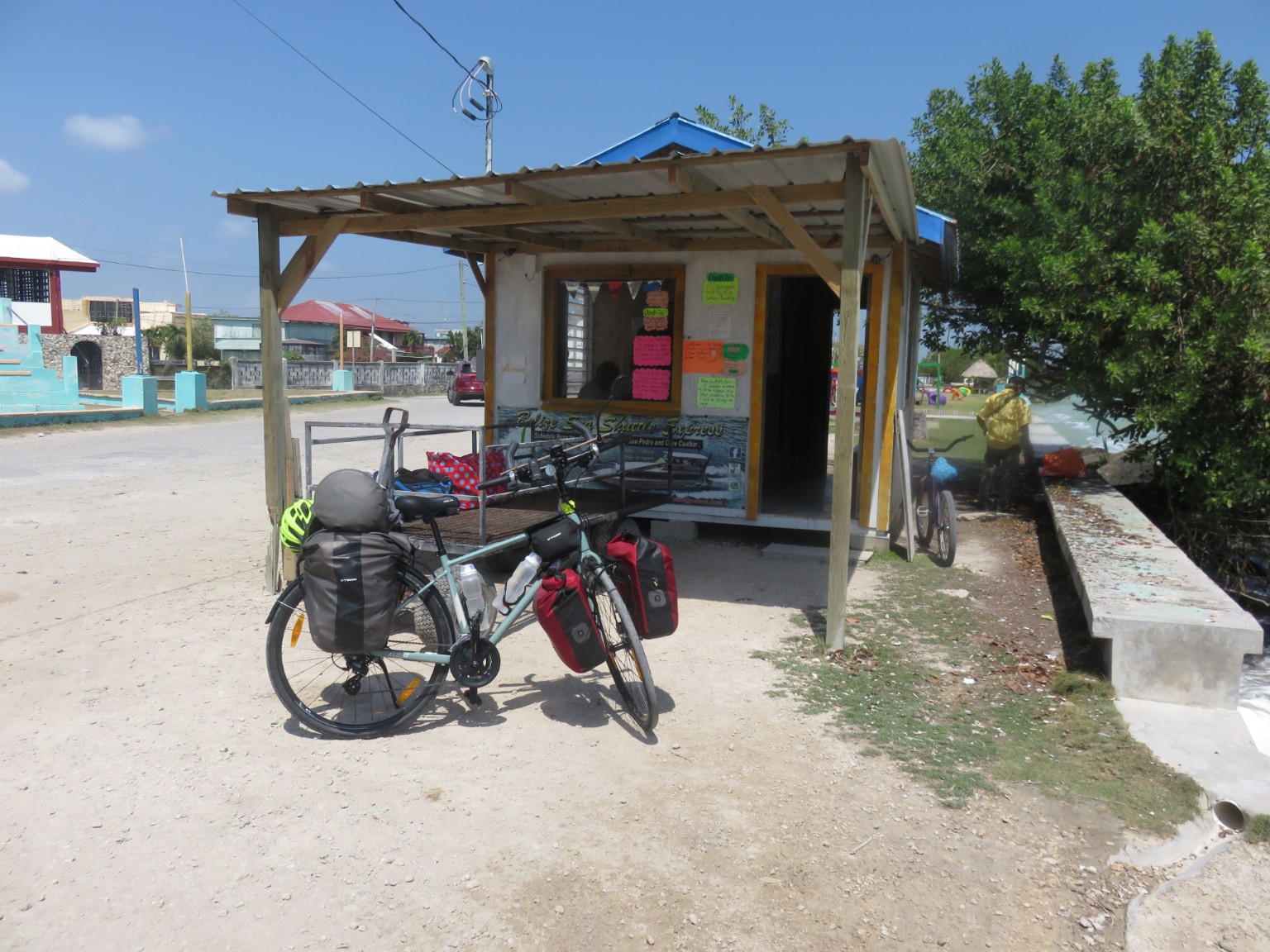
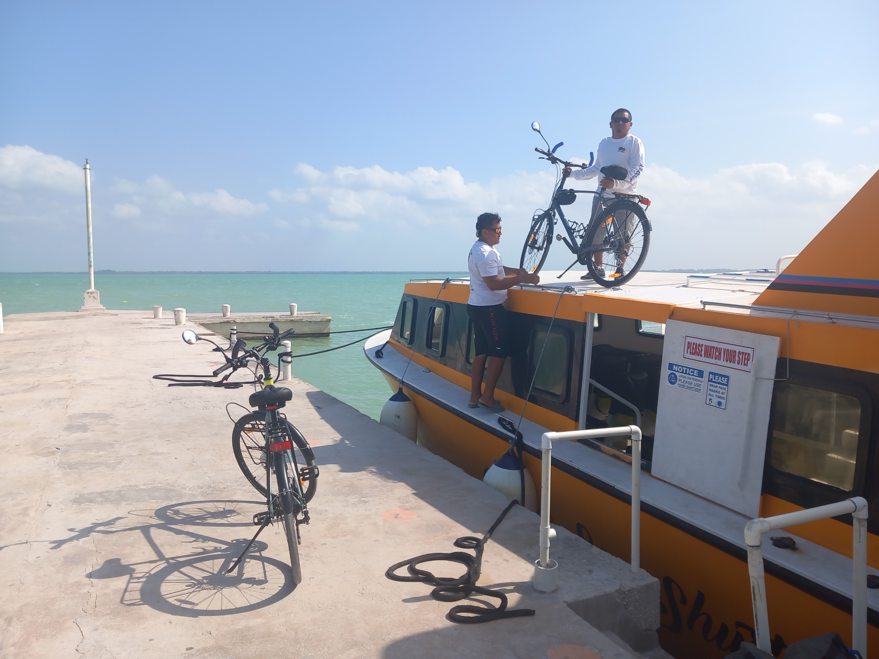
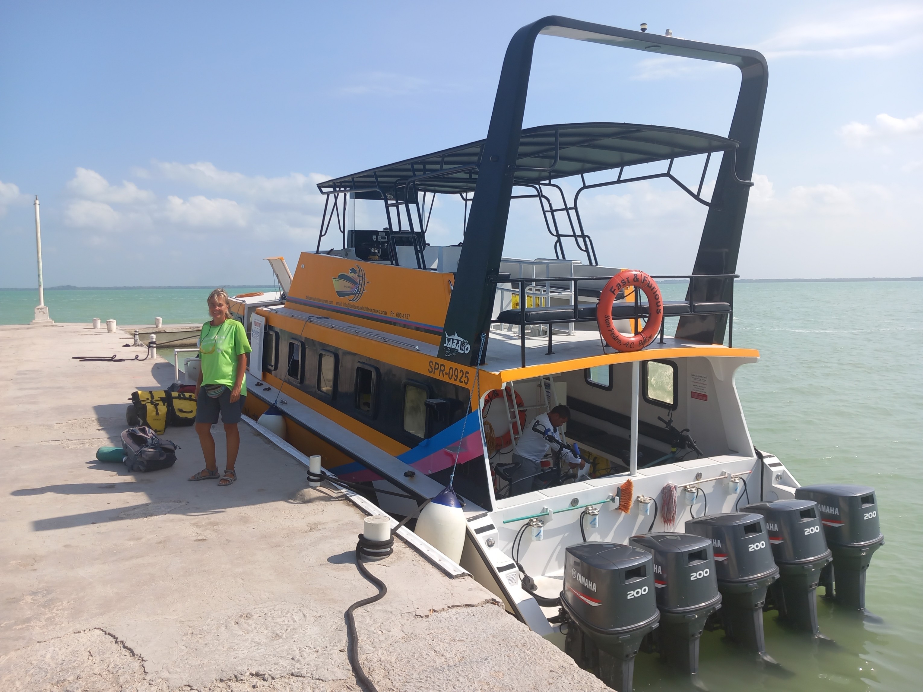
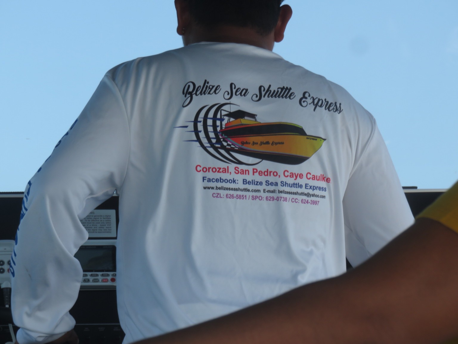
The sign says there is a fine of 160 x your monthly salary for dropping litter; now, if only they could catch those ruining their countryside? A Saturday and not many people crossing from Mexico into Belize. There would have been two less if we had not challenged the Mexican border guards decision preventing us going across by bicycle because we were a ‘security threat’. When we explained we were returning in three weeks to fly home from Chetumel they reversed their decision. At the Belize side of the border we are welcomed with open arms almost (the 670 peso charge per person and the 30 peso ‘tip’ because they didn’t have change from 700 which we both offered) was simple and very casual albeit with a serious message in the back of the Travel Guide they gave us on arrival. Immigration officers were dressed and behaved like tourist guides and the Border Guards were like a welcoming committee and not a firearm anywhere. Our first view of the different road conditions in Belize; this is the beginning of the Phillip Godson Highway leading from the border to the capital Belize City – not much other than enough room for a single lane in each direction, no central line marking, and no hard shoulder. The people were very friendly waving to us and calling out their welcomes as they passed in the opposite direction as did those on the roadside. With our new parts fitted in Chetumel after the ride down to Corozal it was obvious there are still adjustments needed and this deaf and dumb chap had just the right tool for the job. There are no social services in this part of the world; if you don’t work you don’t have an income. We see people almost on a daily basis working at all sorts of jobs who are seriously disabled, however, we choose not to film them but admire their spirit and determination to provide for themselves.The first town we arrive in is called Corozal and this is the ticket office for the ferry to Ambergris Caye – much cheaper than the ferry from Chetumel. We have our first of many experiences with travelling back in time to the 1960’s. Tickets are issued with clipboard and pen at the ready, no credit cards accepted, cash only, and the ship’s manifest is handwritten. When we asked where we could go to charge the mobile ‘phone with credit neither of the three chaps knew what we were talking about! Thankfully they knew the ATM was around the corner so we could return and pay for the tickets.The first attempt to load was to place the bikes on the top of the boat in front of the wheelhouse. They spent 10 minutes wrapping David’s bike in cardboard and trying to tie it securely before realising it would be better located elsewhere. Now, if you thought the Fast and Furious film franchise was all about street racing cars, think again? Look at the name of the boat and then notice the five engines; this thing was going to move very fast. Which is why they moved the bikes down below where you can see the captain securing them in the stern. We were happier because this would mean less spray and, therefore, less salt in the working parts.
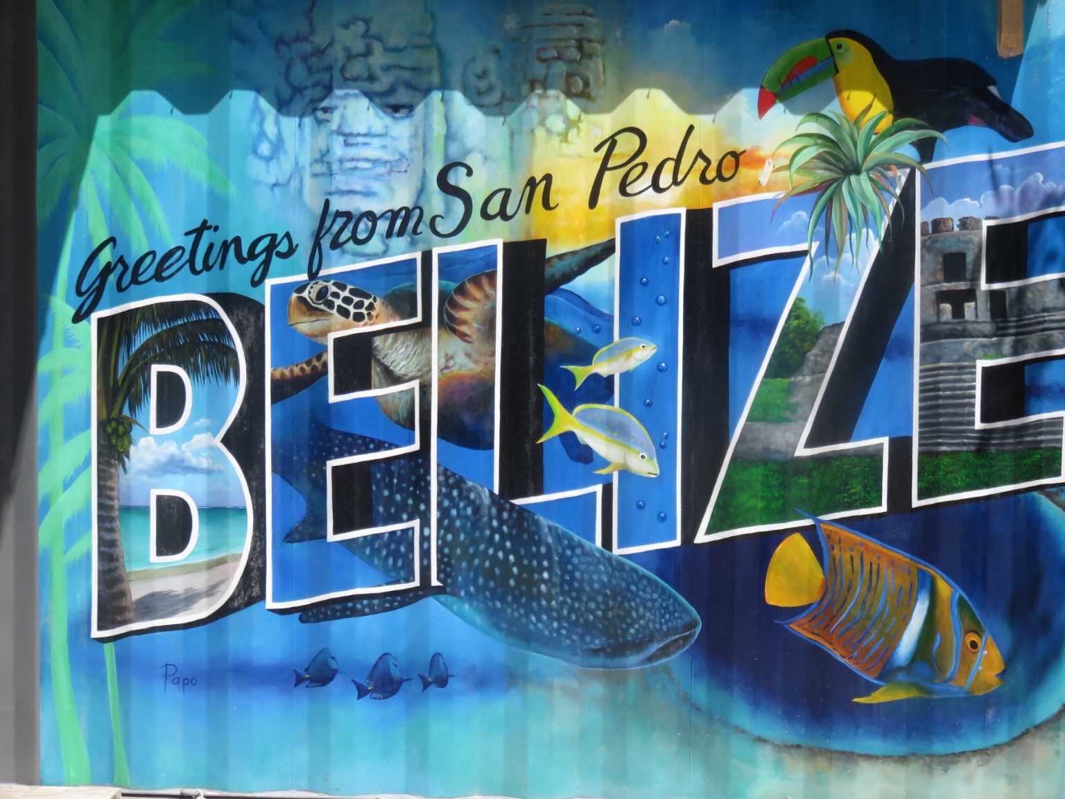
One of the islands we pass belongs to Leonardo Di Caprio according to our captain – presumably he needs somewhere peaceful and quiet to relax whilst he prepares his next speech telling us how we can cut our carbon emissions down to net zero?We had a very enjoyable ride for 1.5 hours across to San Pedro, the capital of Ambergris Caye.
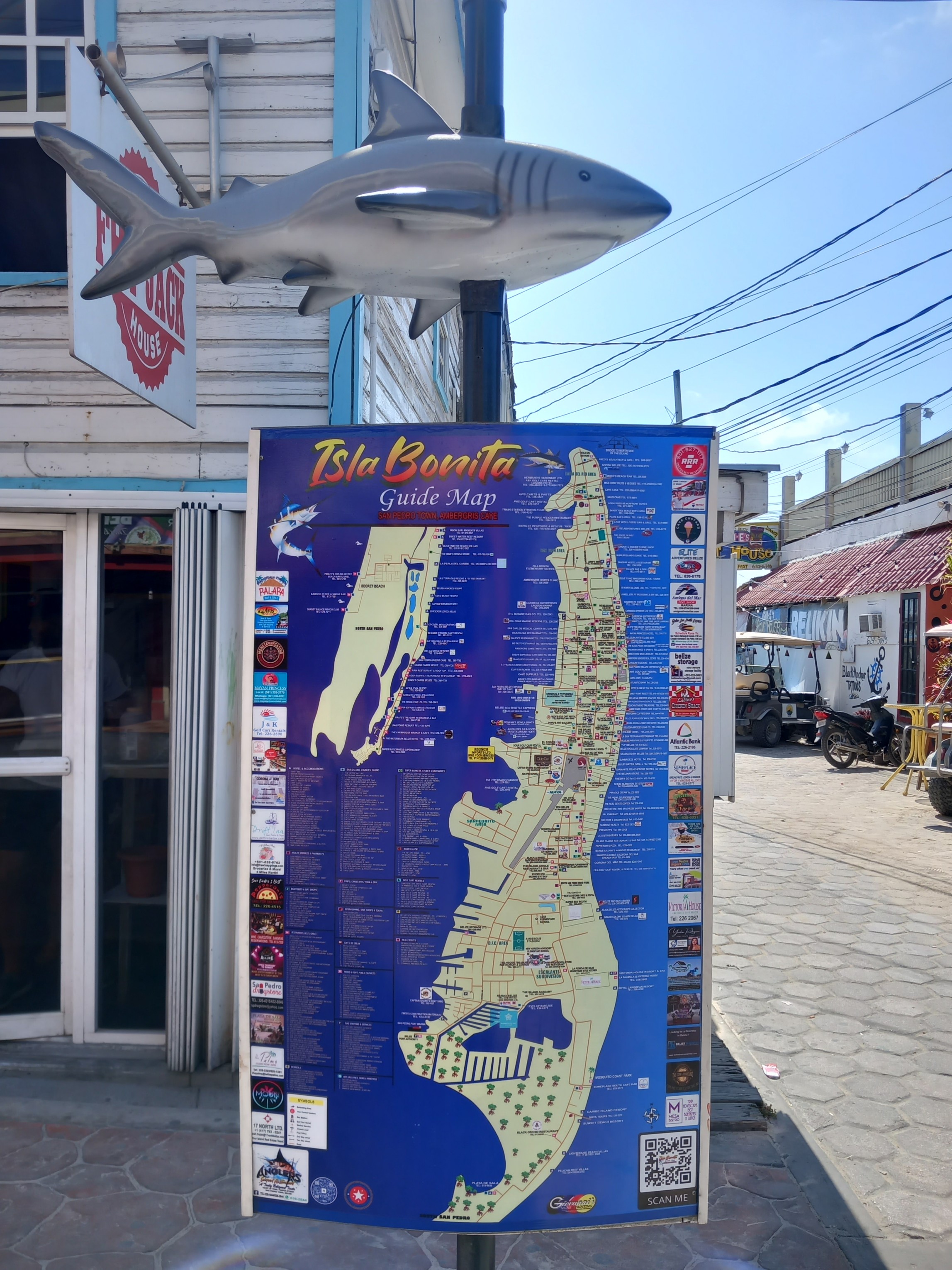
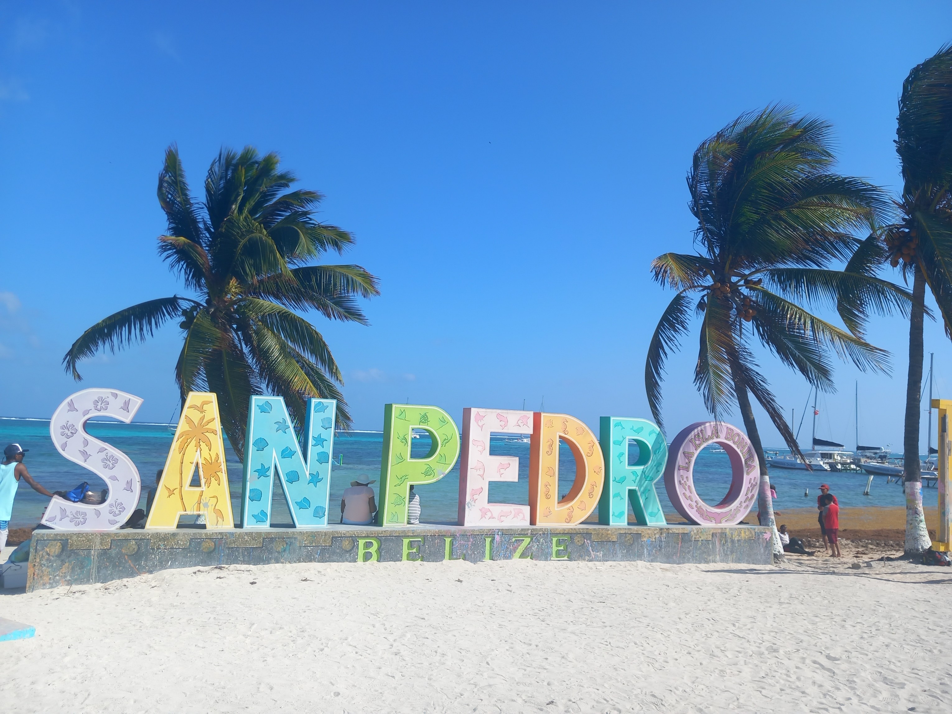
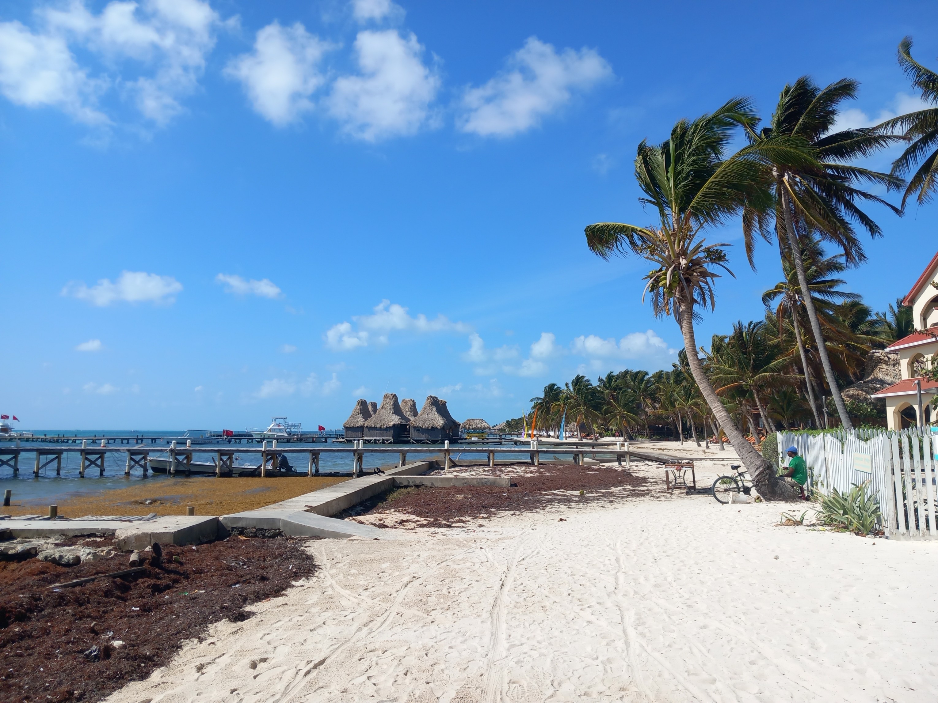
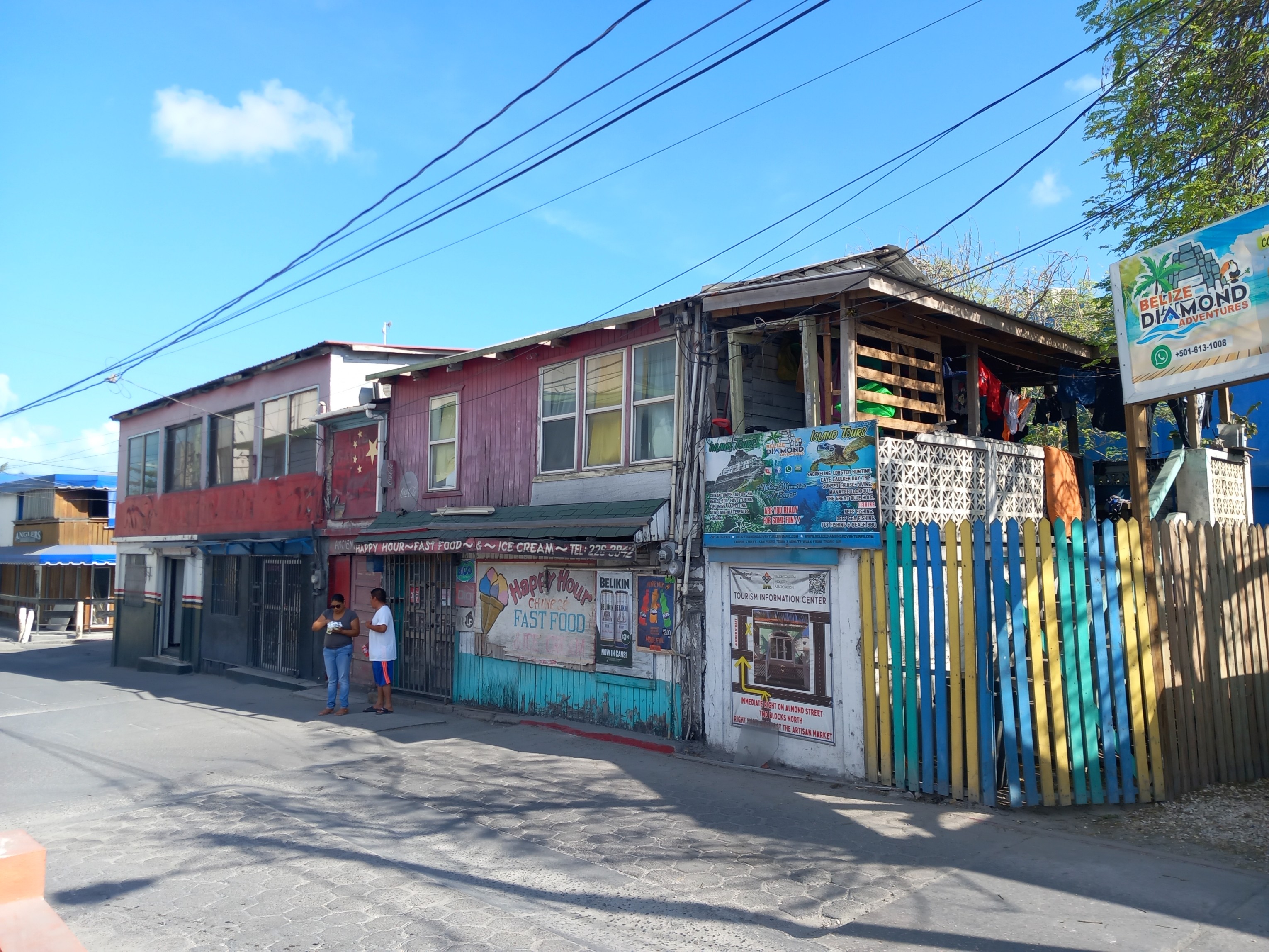
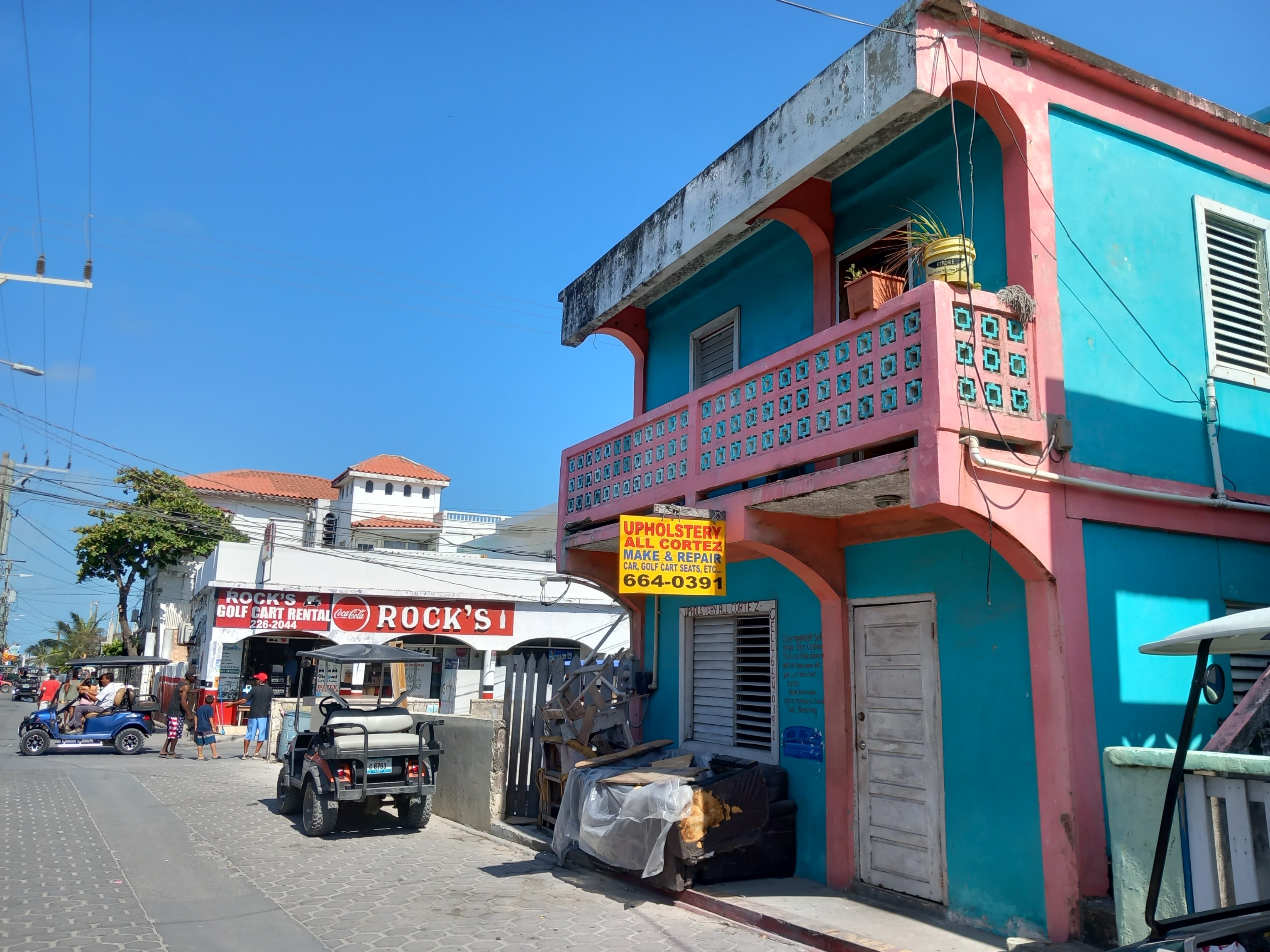
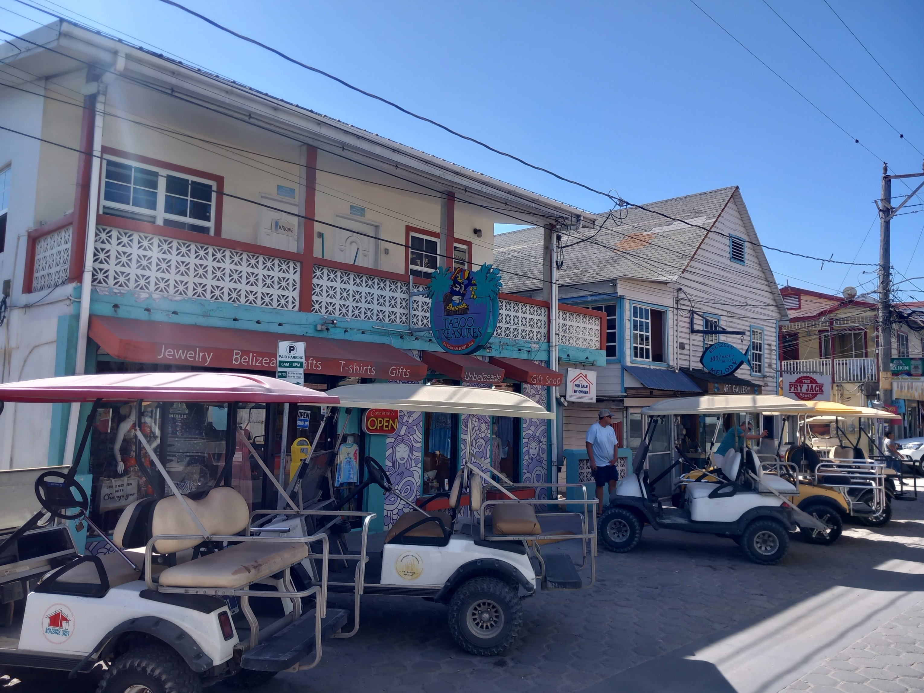
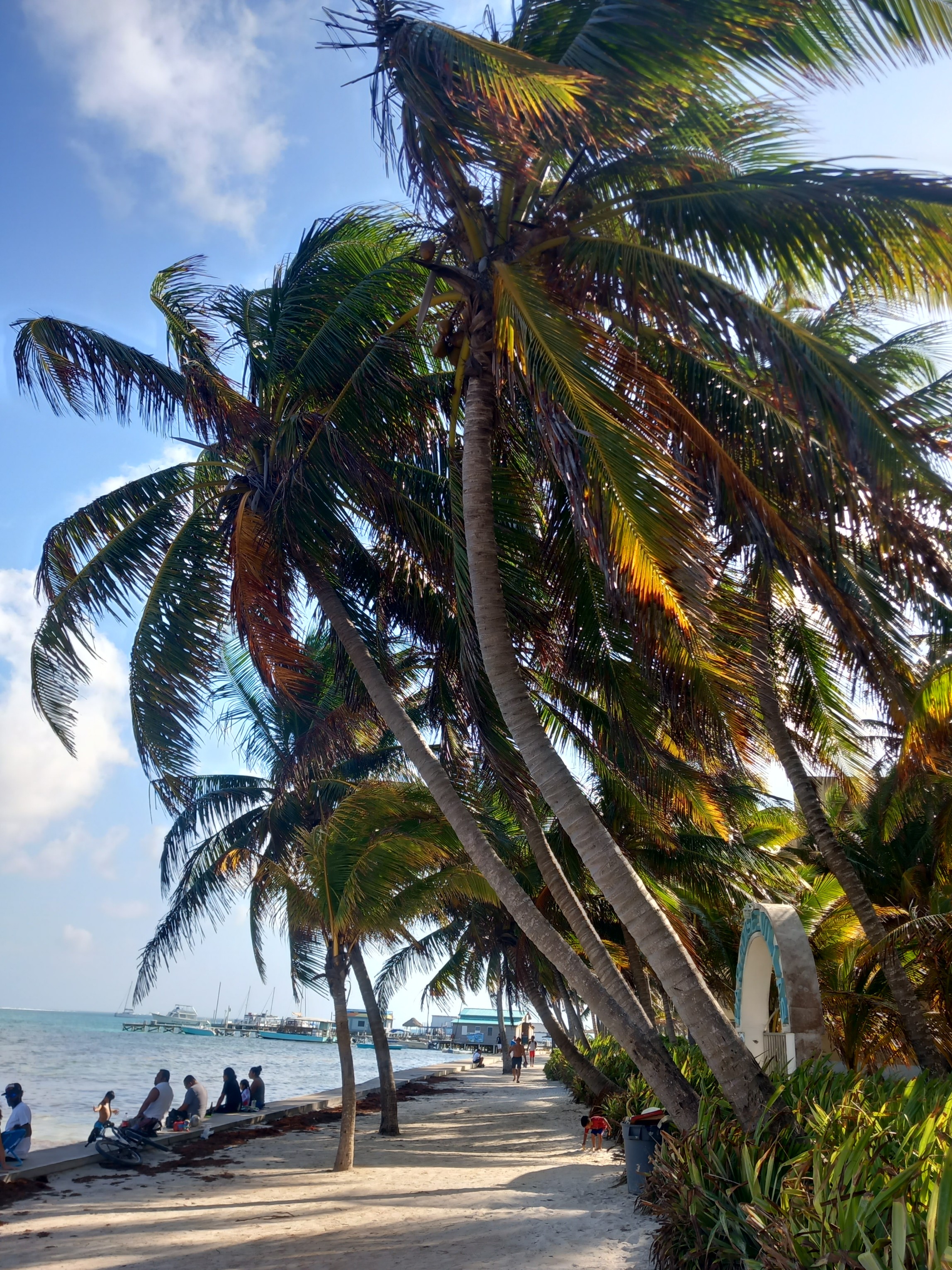
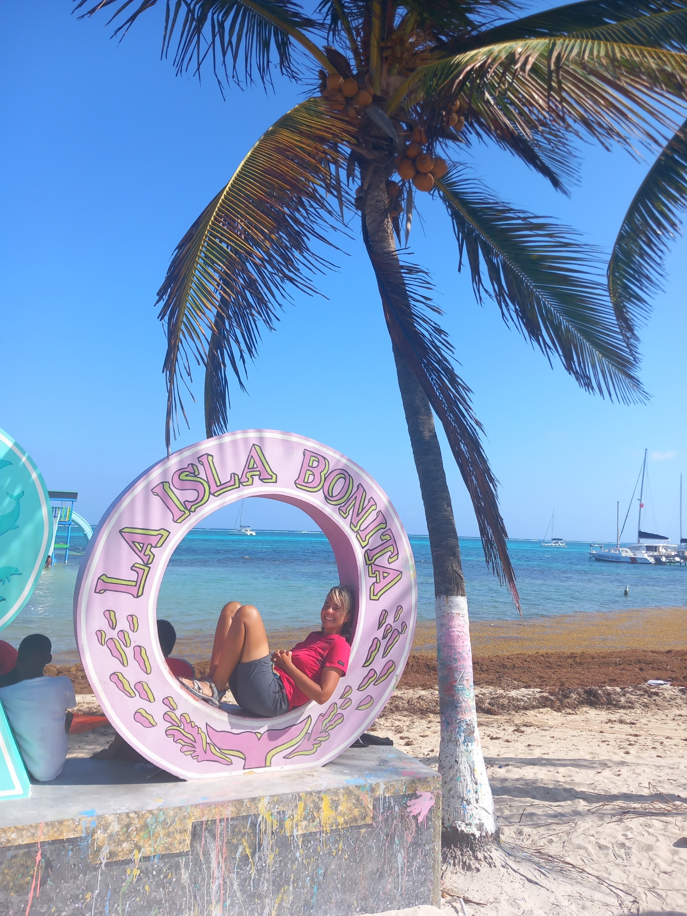
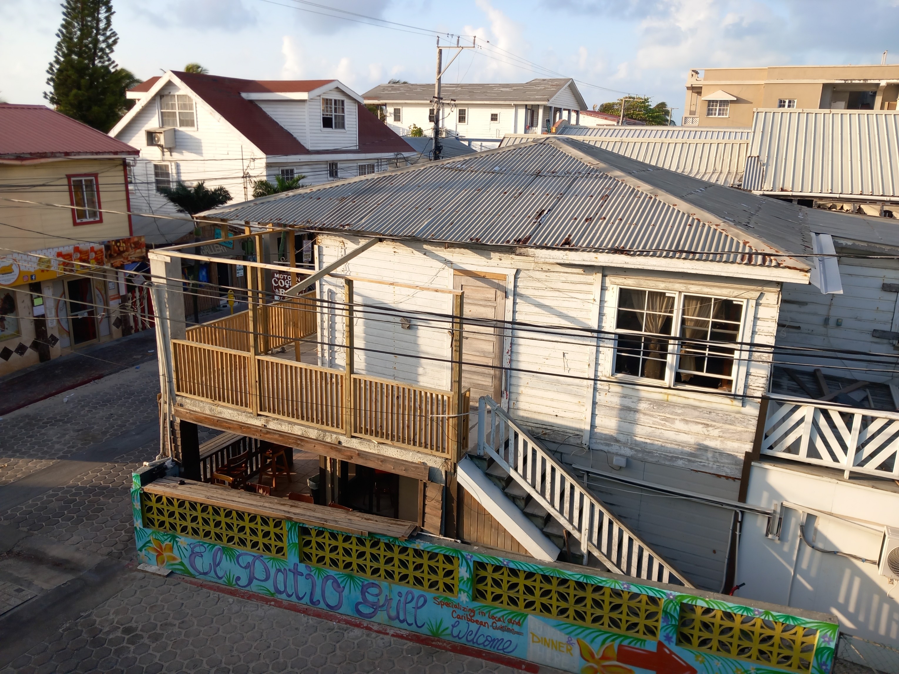
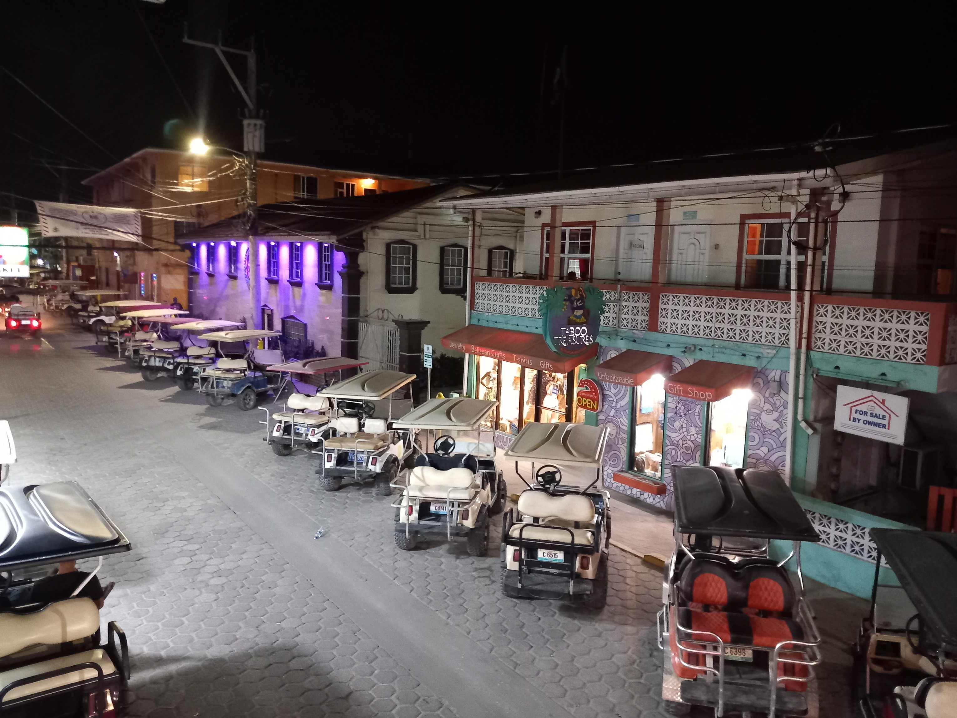
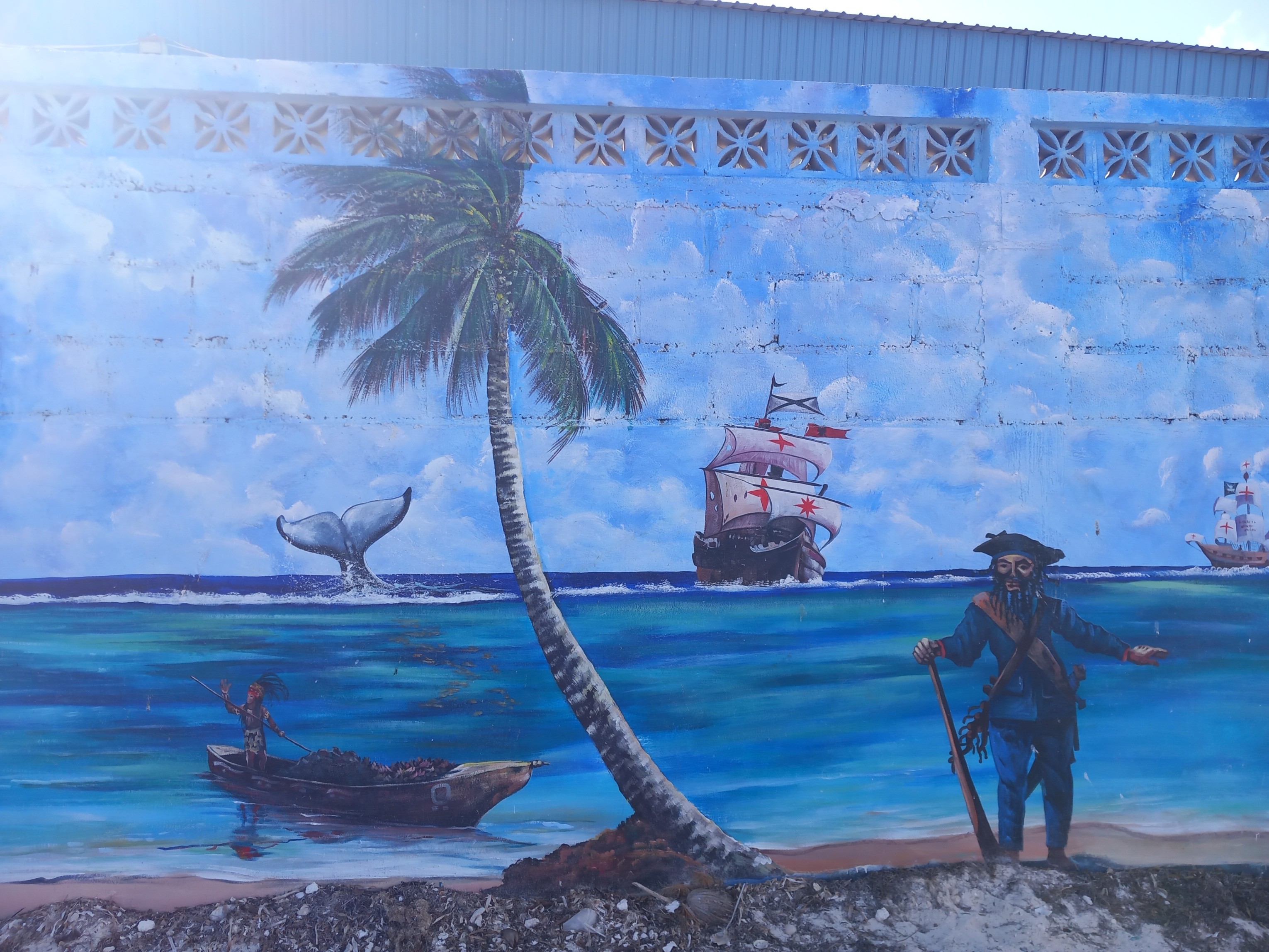
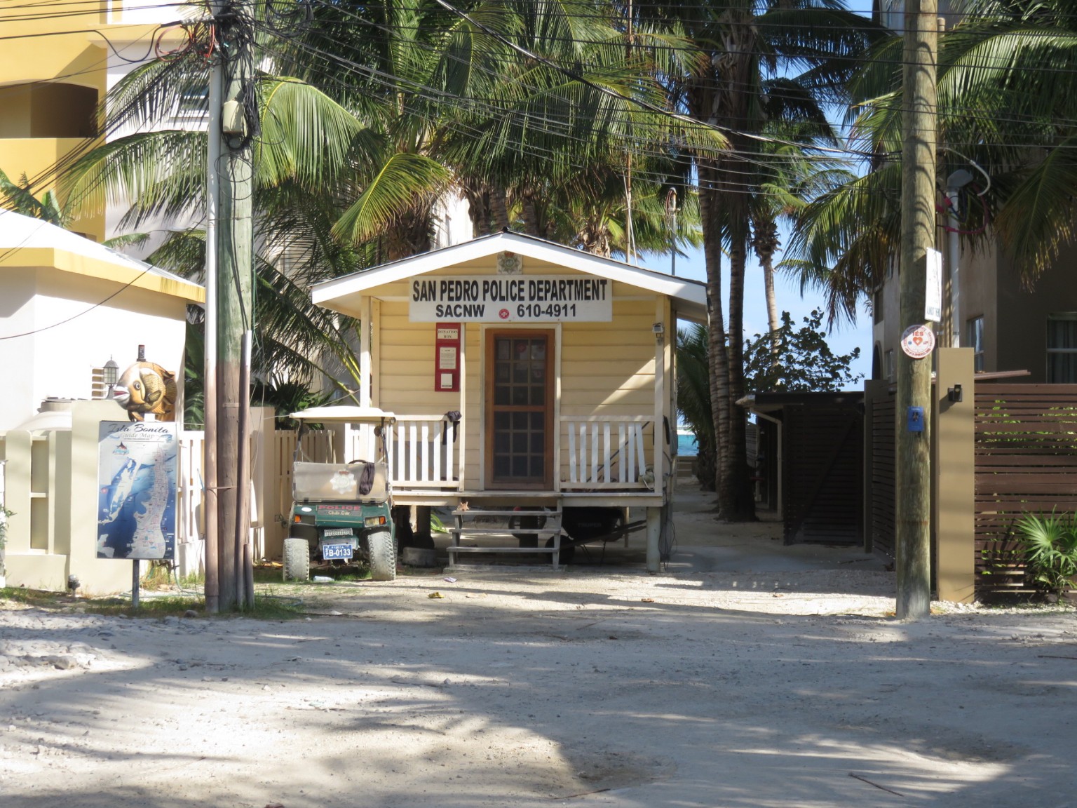
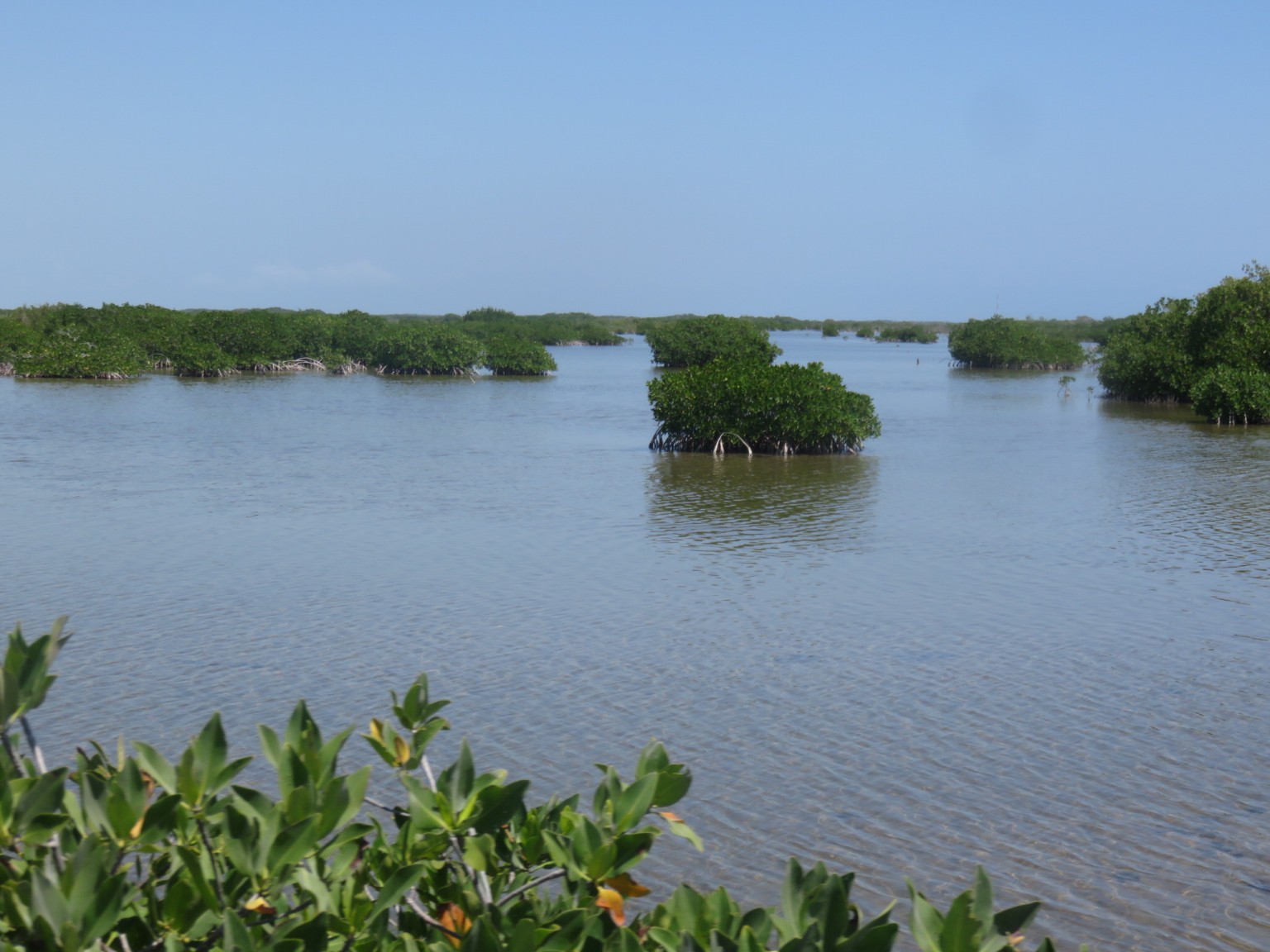
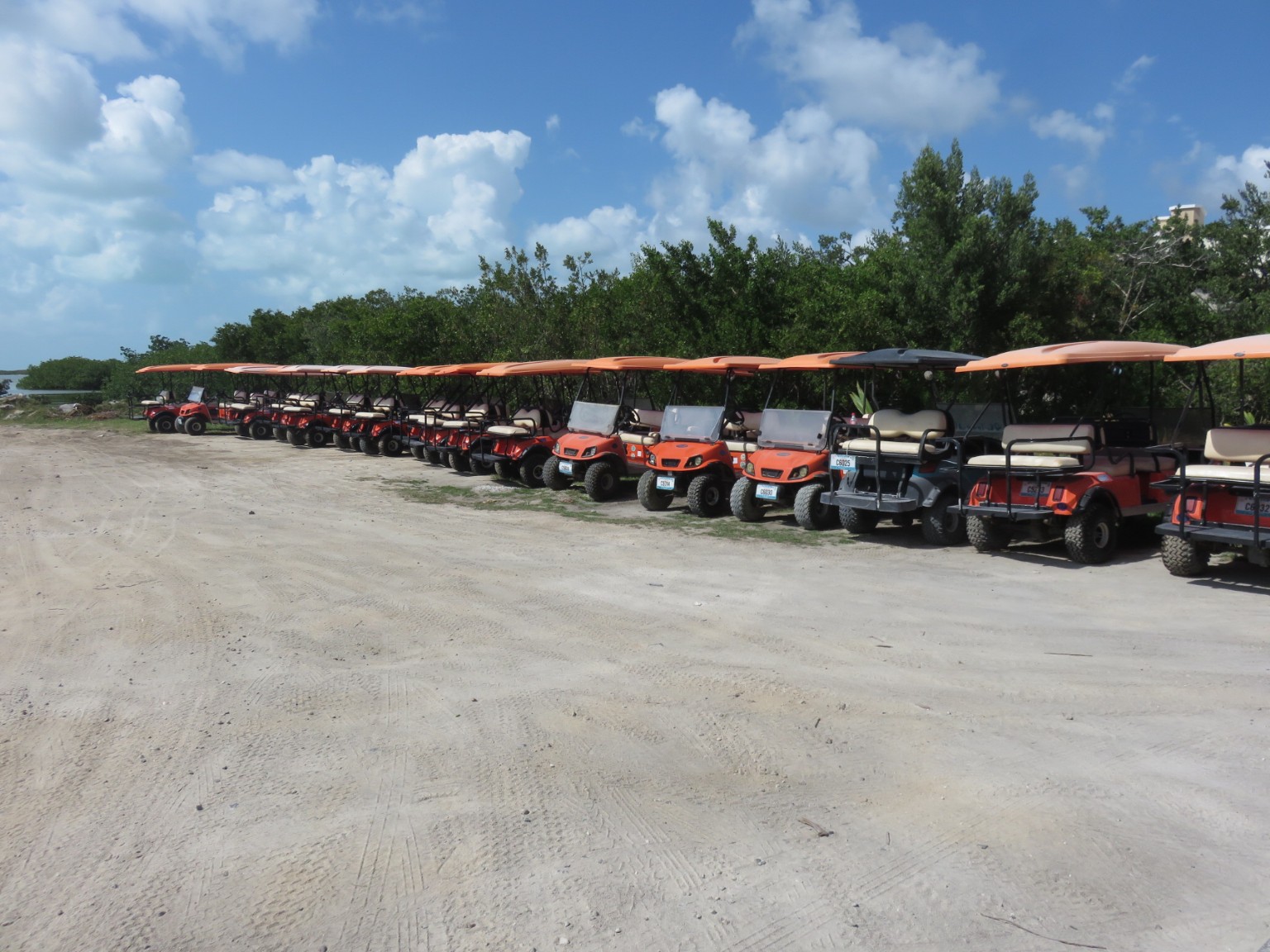
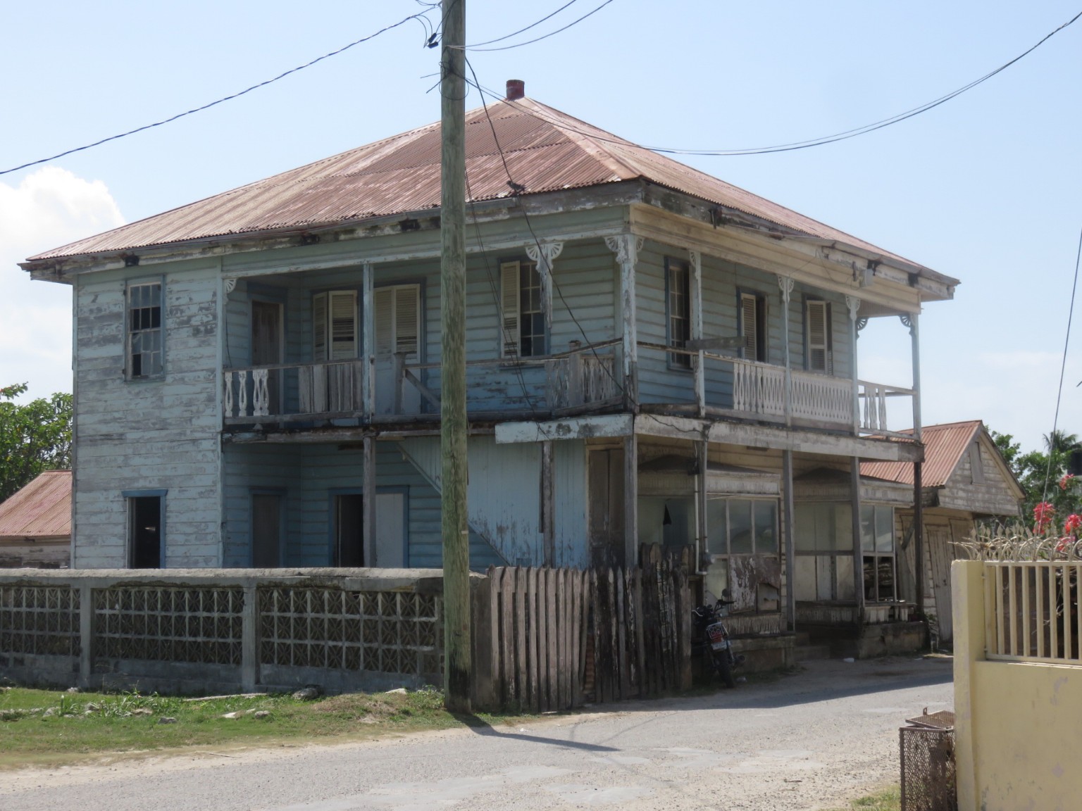
Ambergris Caye is better known by some as La Isla Bonita from the song made famous by Madonna. Unsurprisingly the Tourist Board do not miss an opportunity to promote the island with this connection.The first thing you notice on the beaches to the windward side of the island is that the sea weed problem experienced in Mexico continues all the way down this coast – some have said this has been an issue all the way from Florida this season.The older 50’s style timber buildings continue to be used beside newer buildings.The very few cars allowed are all taxis. The main mode of transport are these golf carts and bicycles.The keener eyed amongst you will notice the tide break in the distant background; this is 0.5 miles from the beach and is where the second largest barrier reef in the world is located because it runs for 80 miles (120 kilometres) along this coast down to Guatemala. It protects these islands from tidal waves and provides an enormous source of income for the dozens of tour companies that offer snorkelling and diving expeditions down to the reef.We are fortunate to find the last remaining room on a Saturday night in the centre of San Pedro. This is the view from our second floor location taken early Sunday morning before the endless procession of golf carts are in use.This is the width of the roads – about wide enough for two golf carts to pass with few footpaths so it can be congested. There are only three roads because the island is quite narrow although it is 25 miles long ( 40 kilometres). At one point it widens to 5 miles where the mangroves are, however, it takes some getting used to that you can walk from one side to the other in three/four blocks.A reminder, if it were needed, that the area was settled by Pirates.
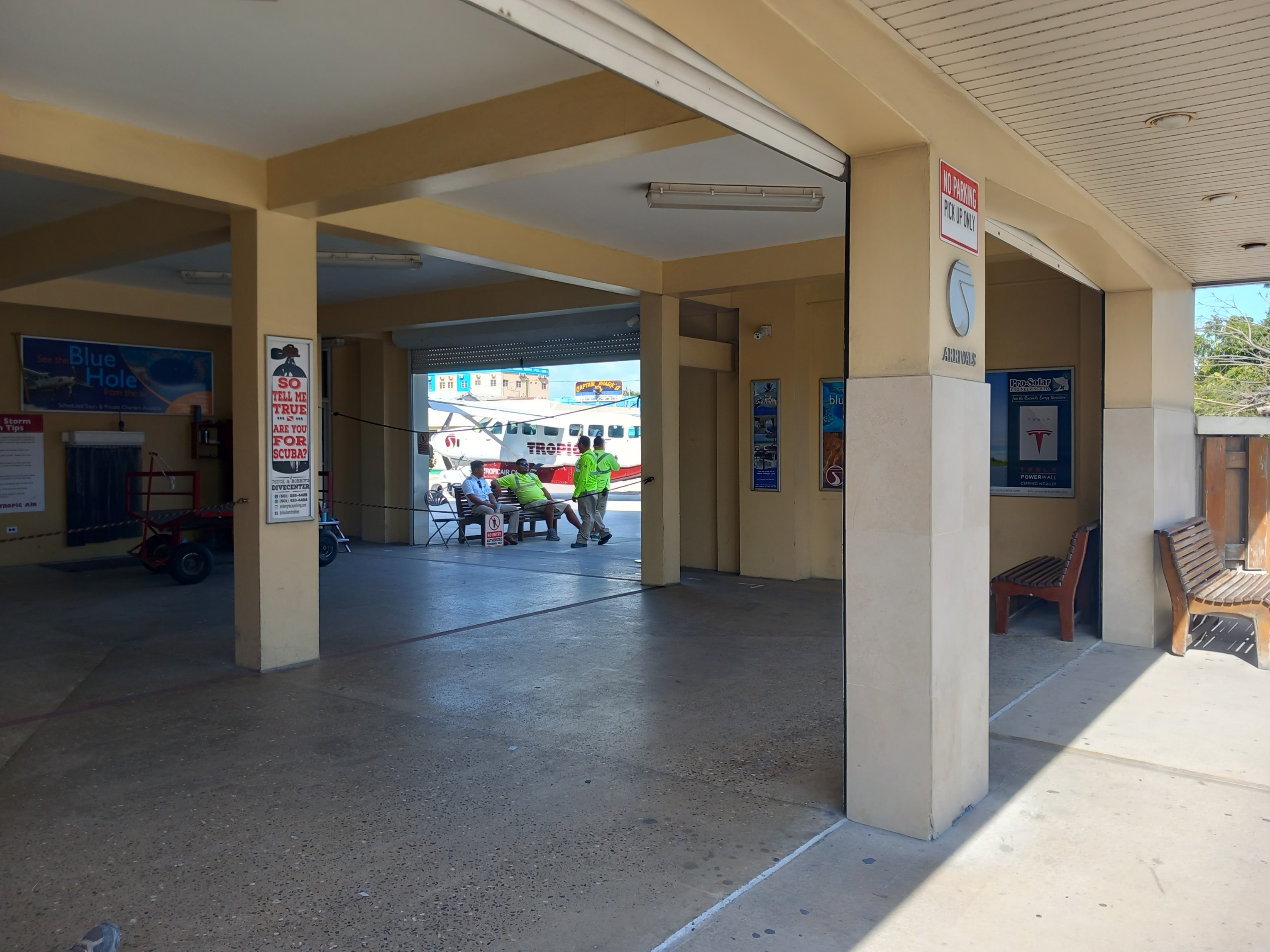
In addition to the water taxis there are numerous flights daily from the airport – note the complete lack of security – this is the arrivals hall.
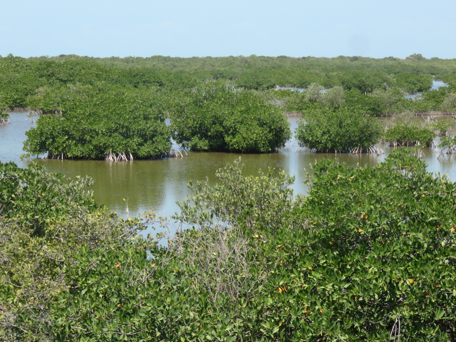
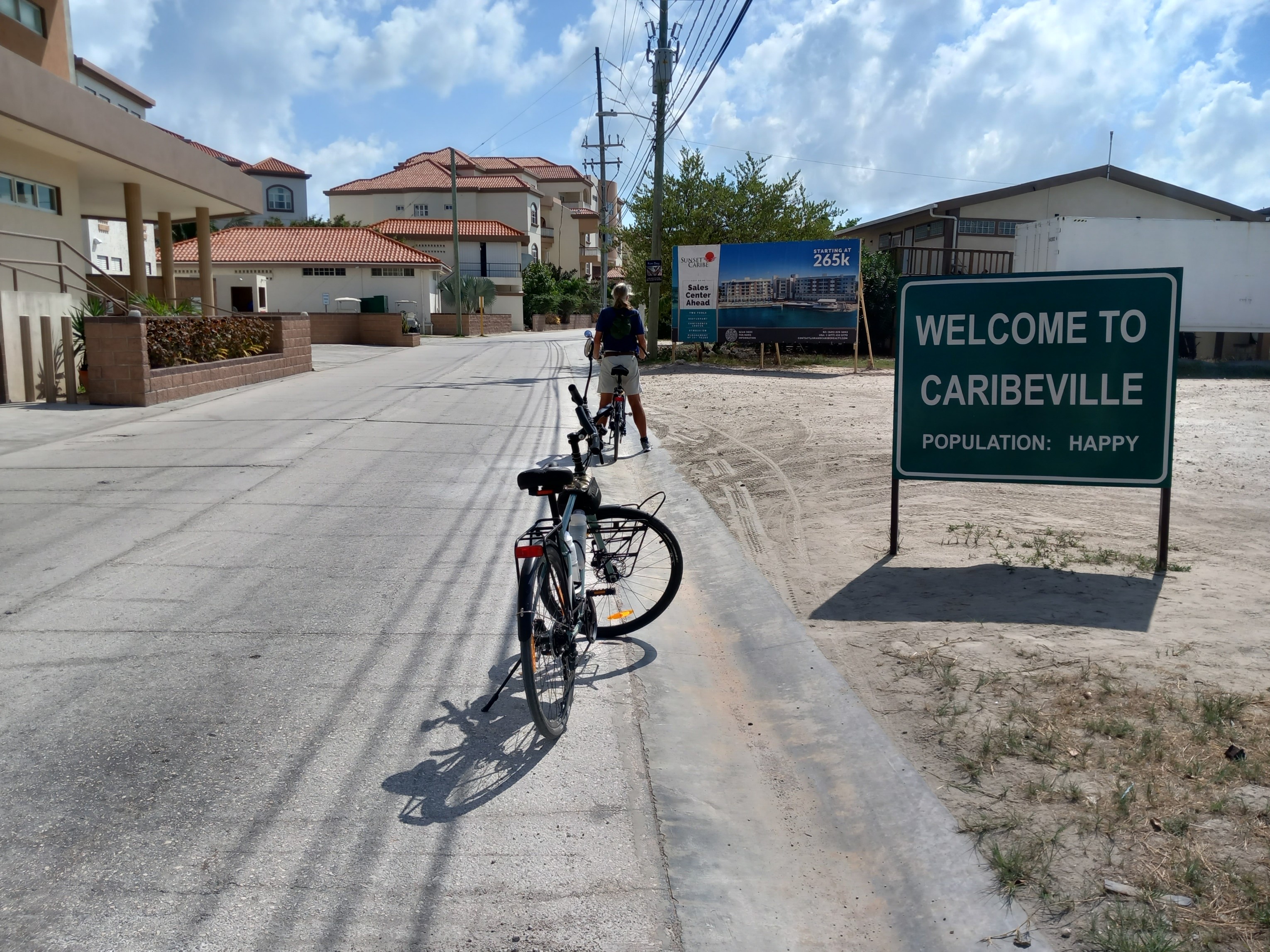
We toured the island from top to bottom on our bikes and it was much quieter outside the main tourist areas and interesting to see how the island would have looked in its original state. There was a lot of building work in progress for new resorts, hotels and apartments.
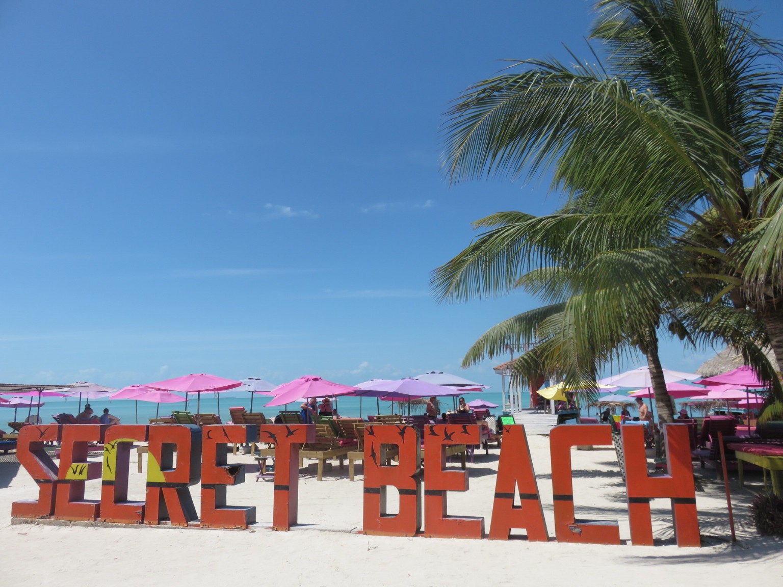
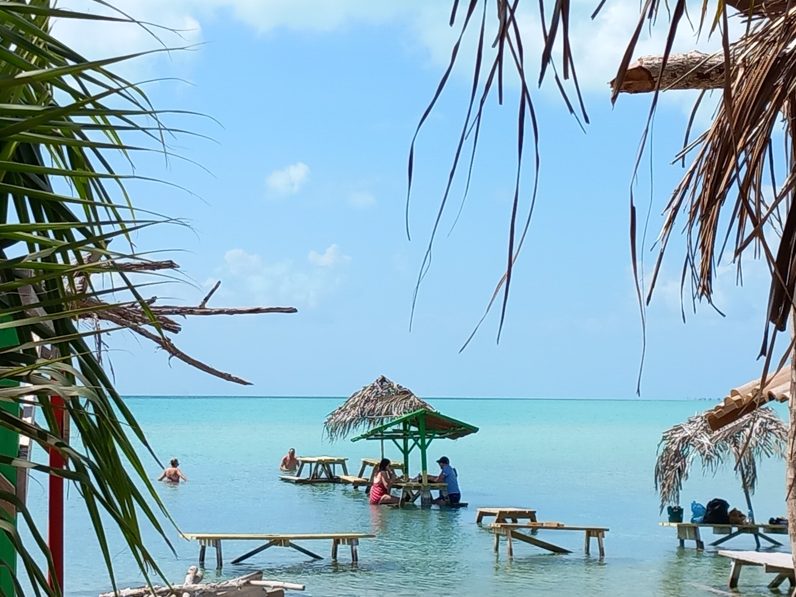
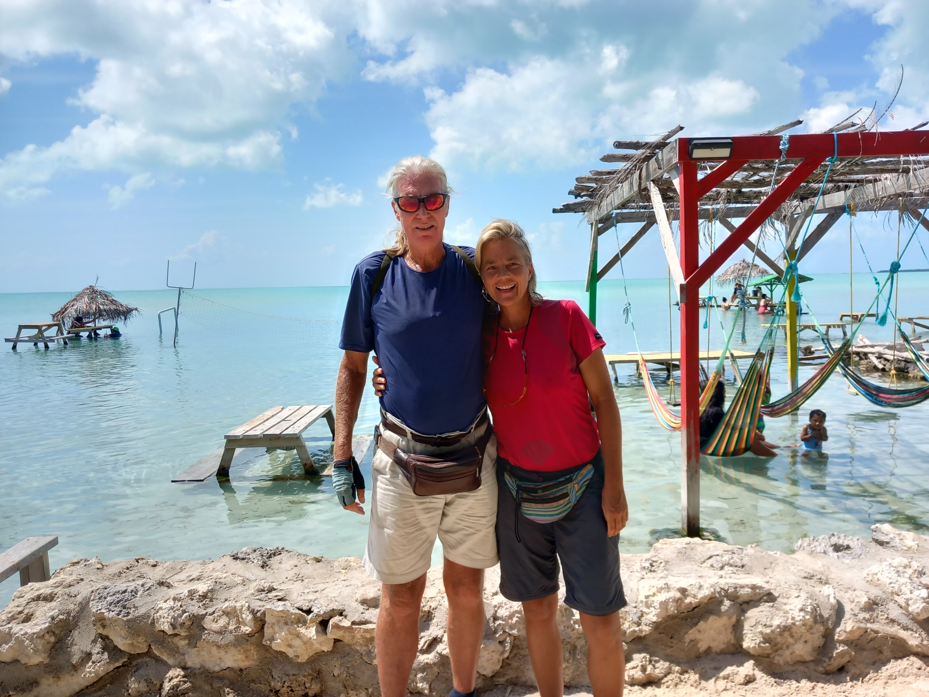
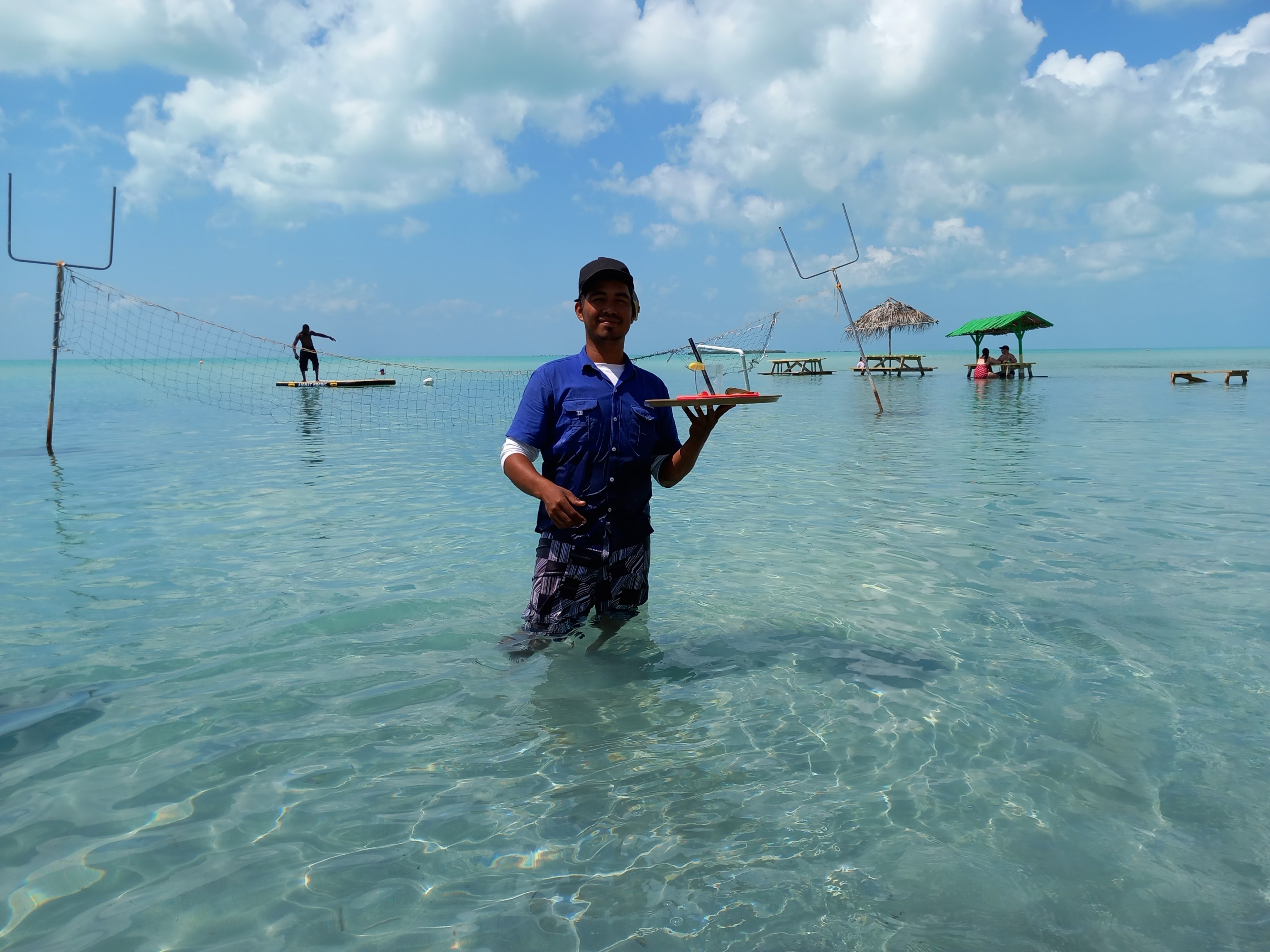
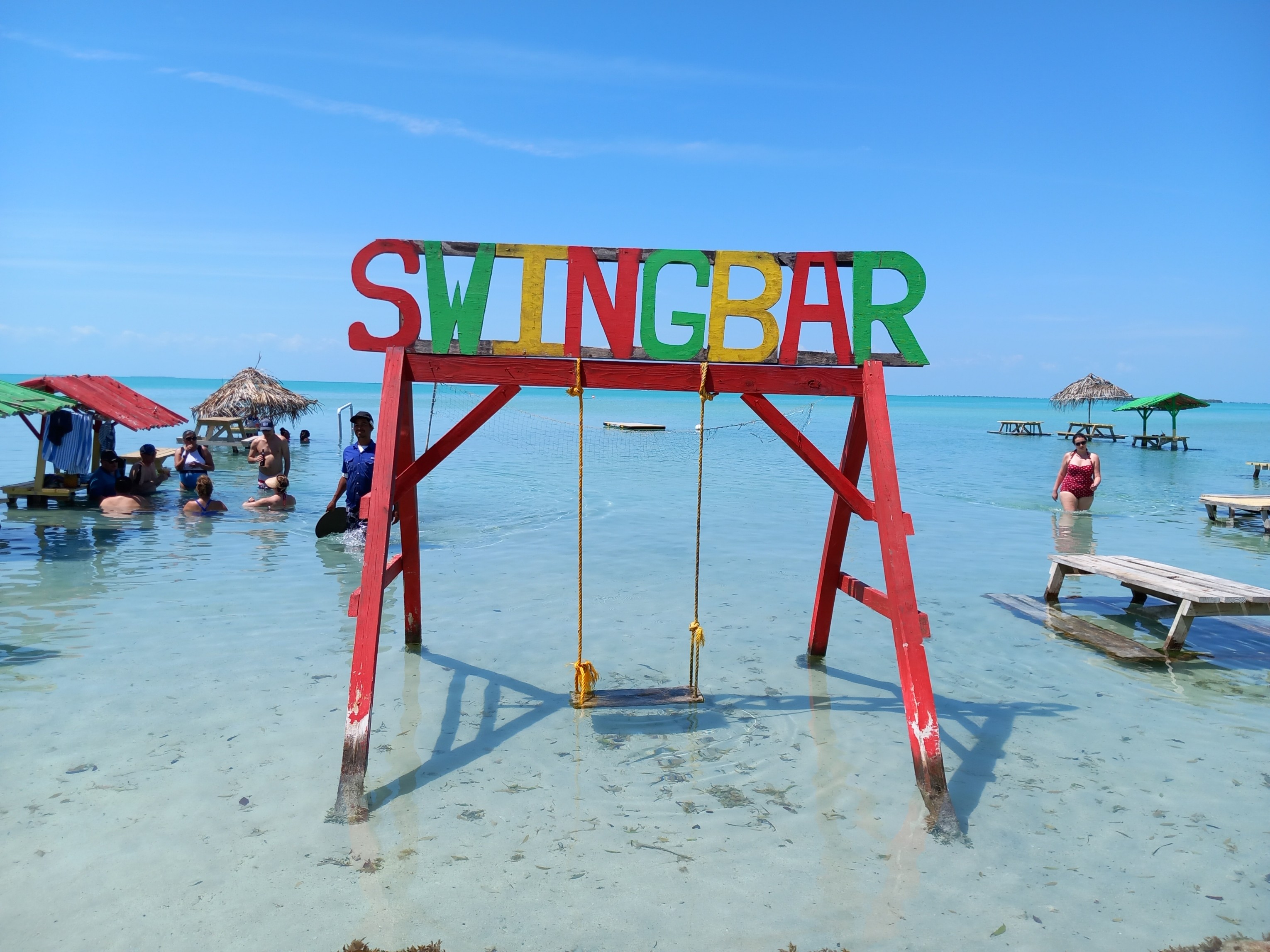
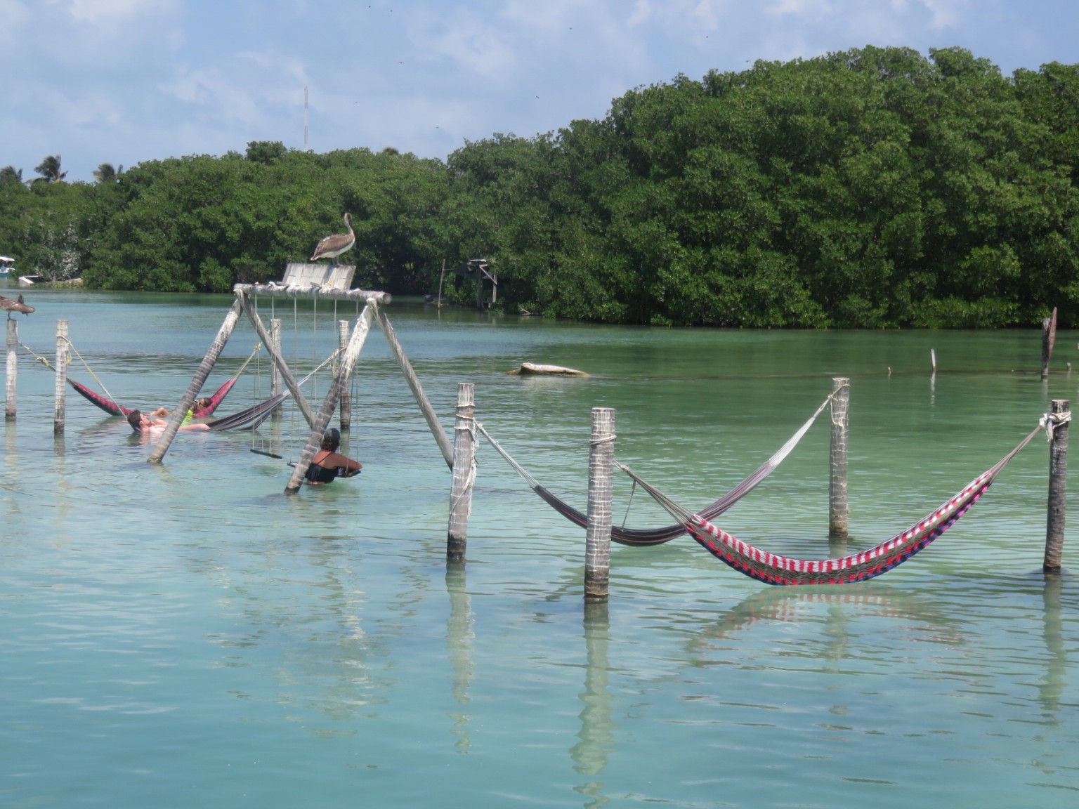
The secret is out, there is a beach towards the top of the island.A typical ‘car park’ at the beach. Why have a bar on land when you can have it in the water?