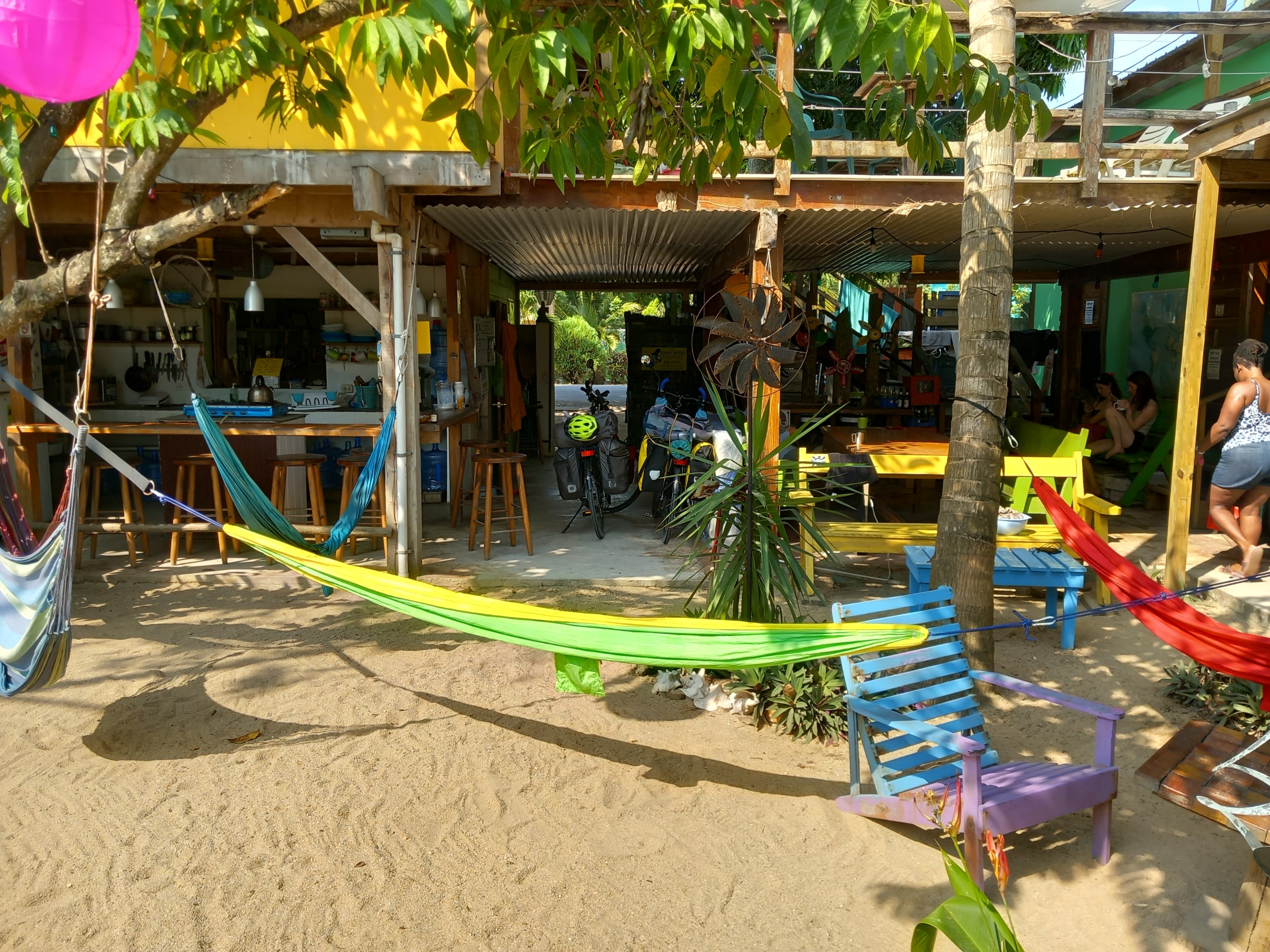
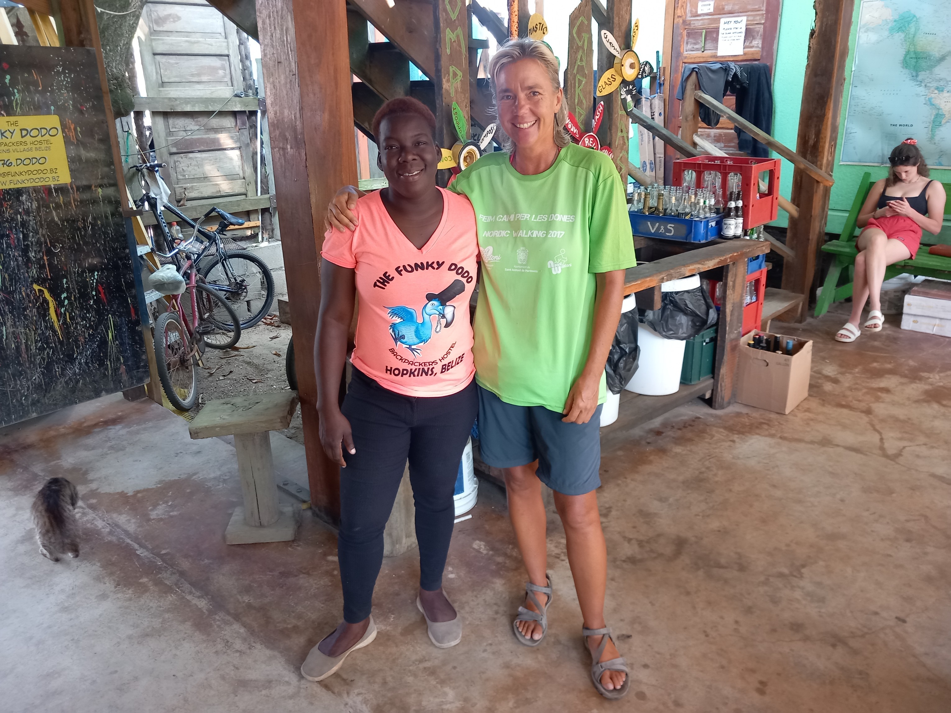
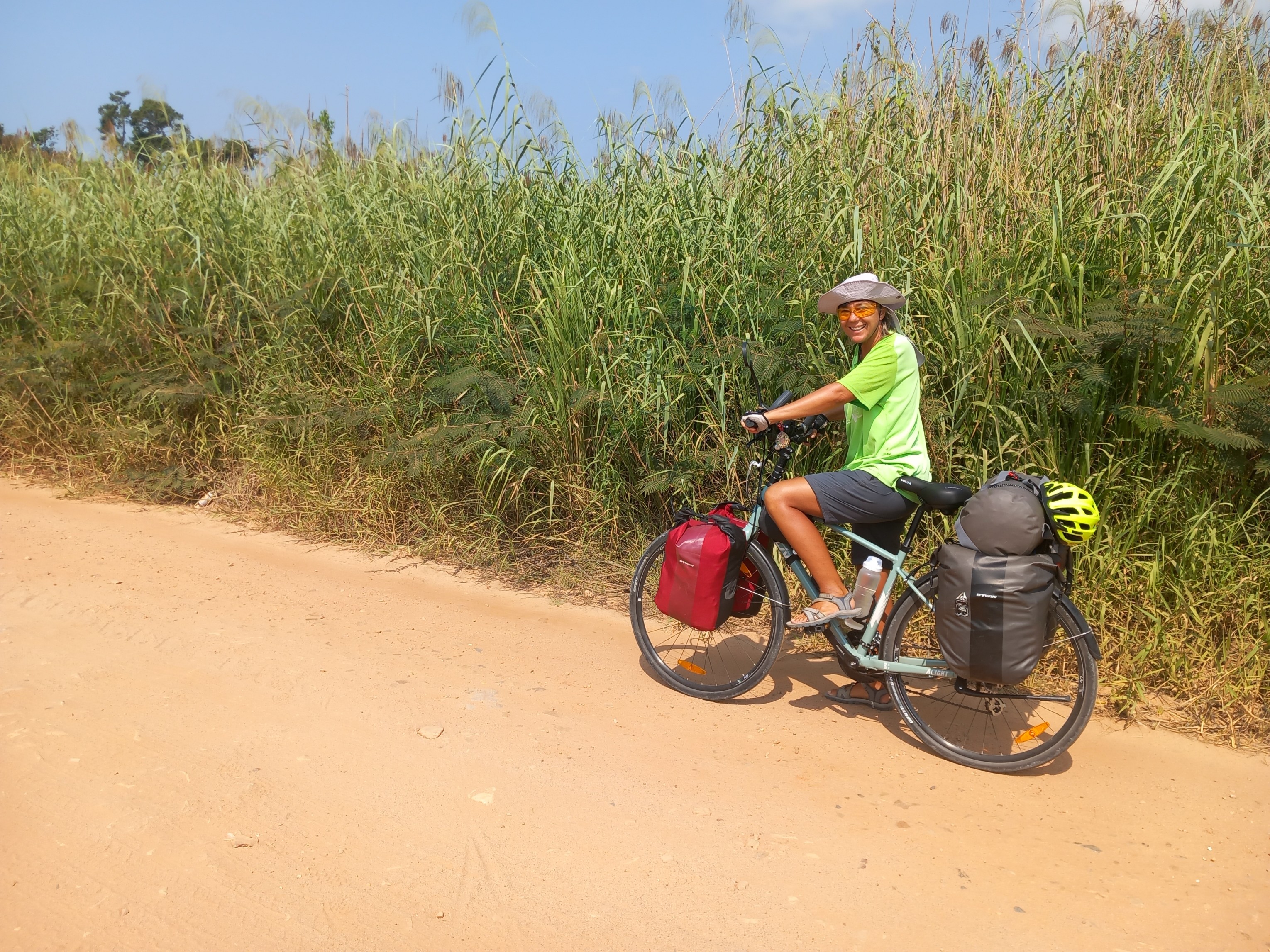
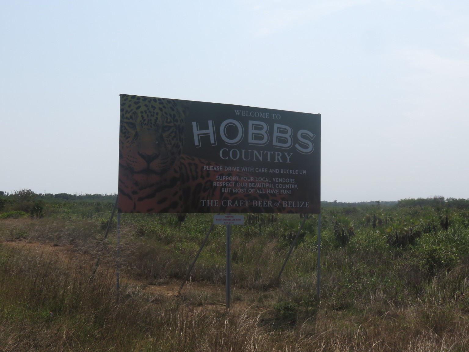
Some more views of Hopkins before we leave……..This was the lounge area of the hostel we stayed in at called The Funky Dodo – its a genuine name and listed in the LP guide although we didn’t realise that until after we checked in.Now we’re en route to Placencia and have to cross the mangrove swamp via a very uneven track.
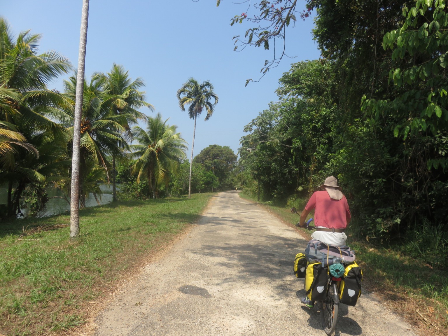
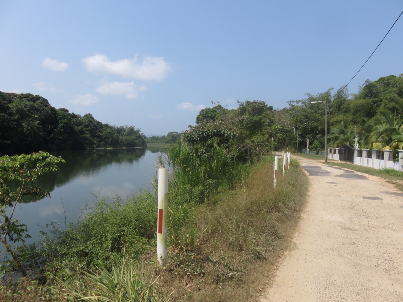
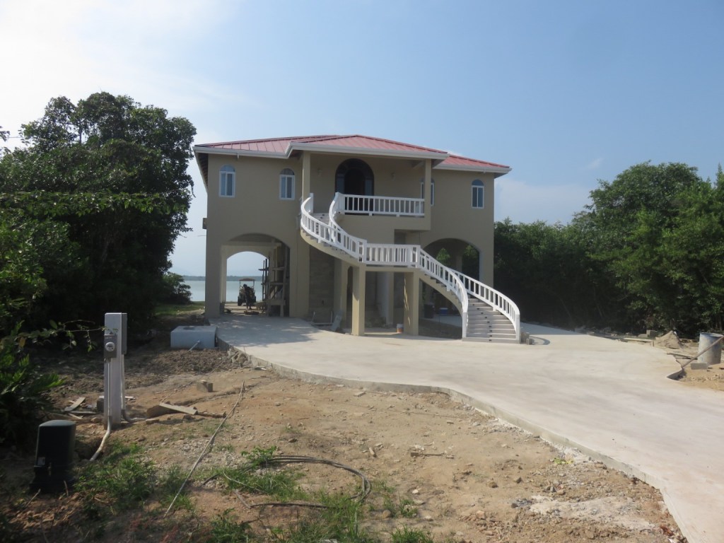
The route passed along a very pretty river side with some expensive looking expat houses overlooking the water.
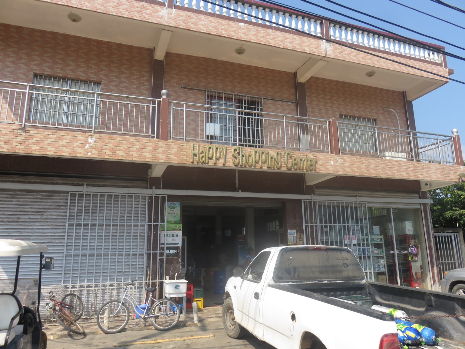
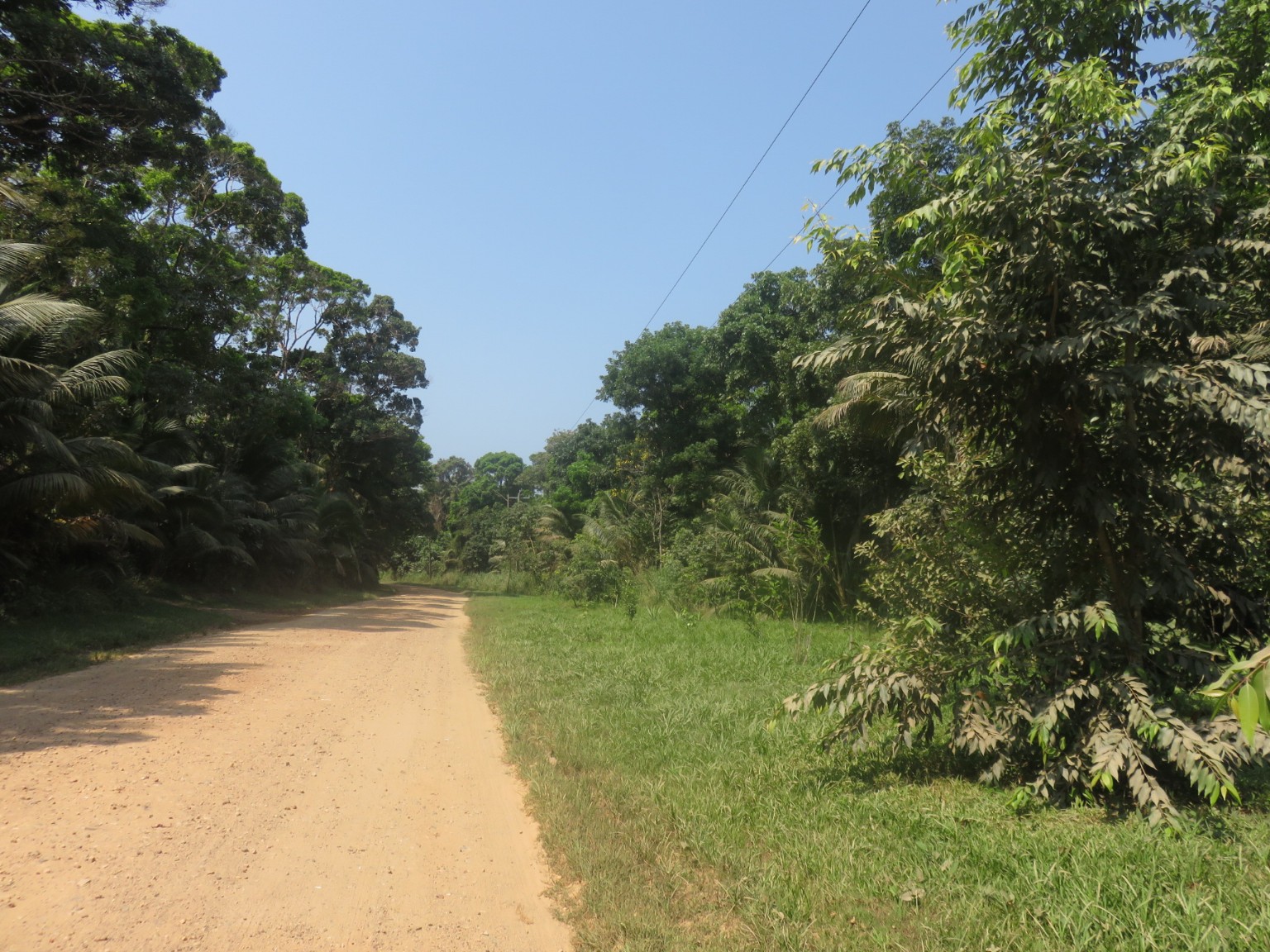
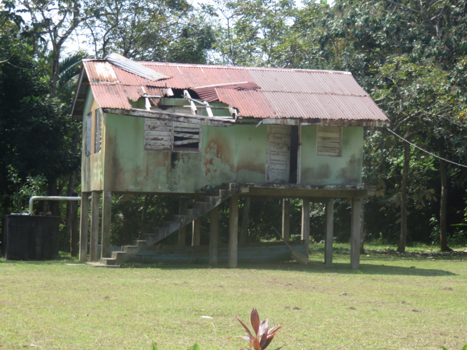
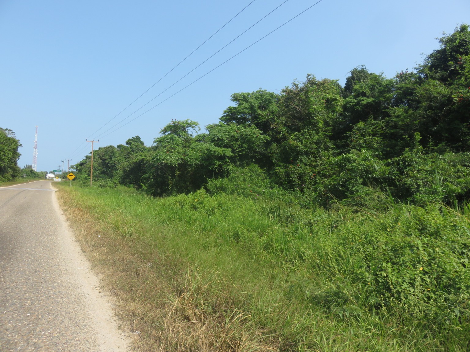
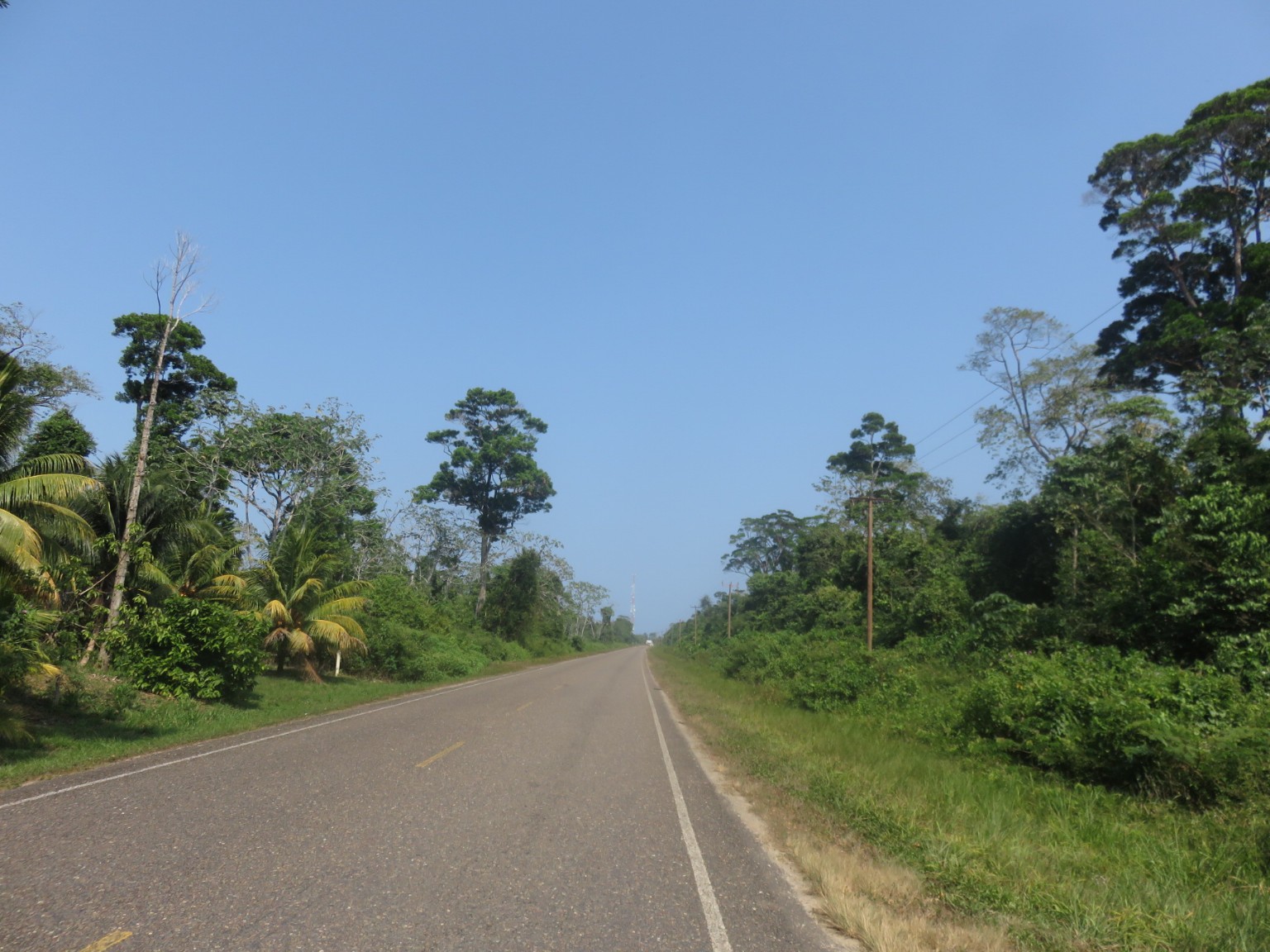
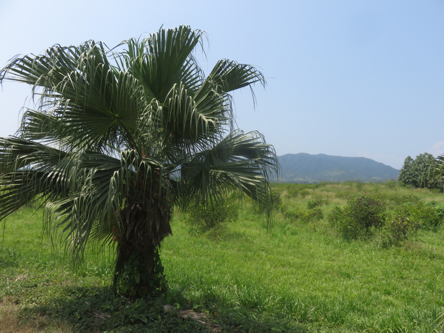
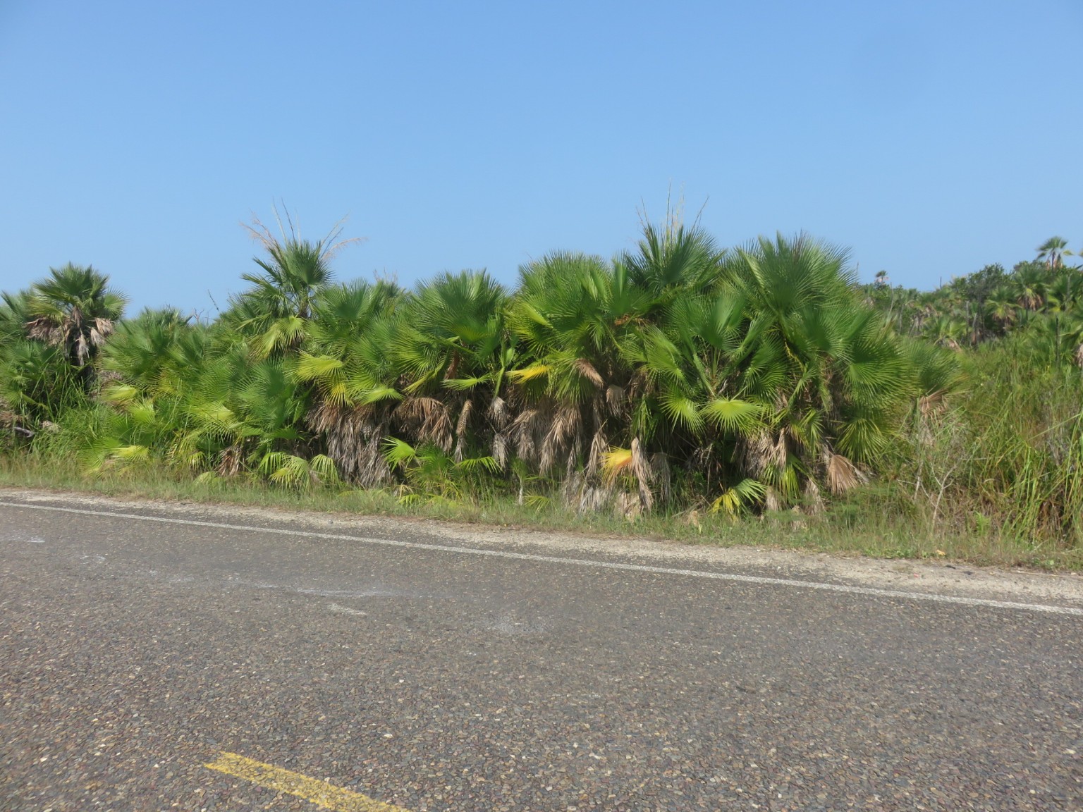
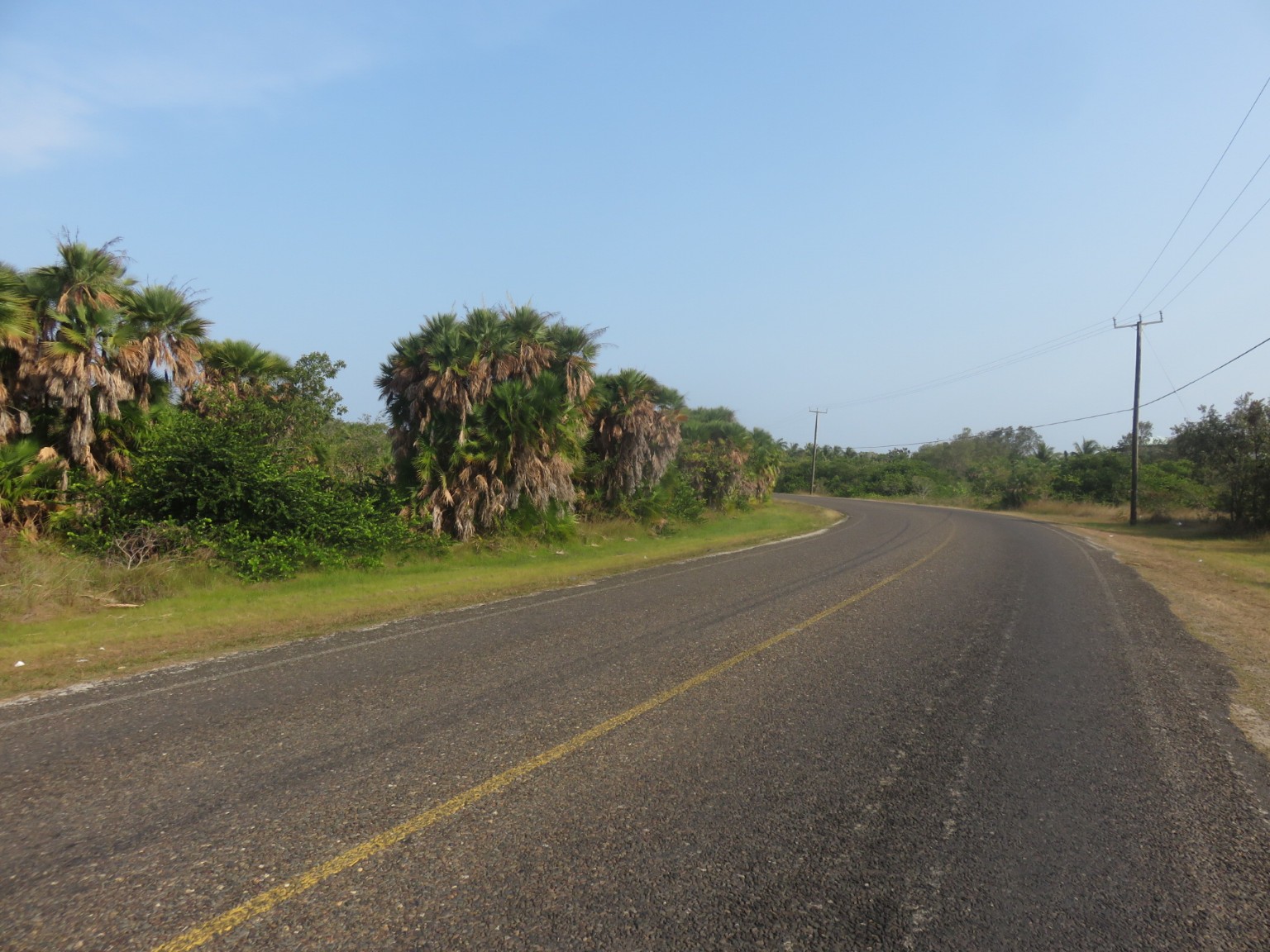
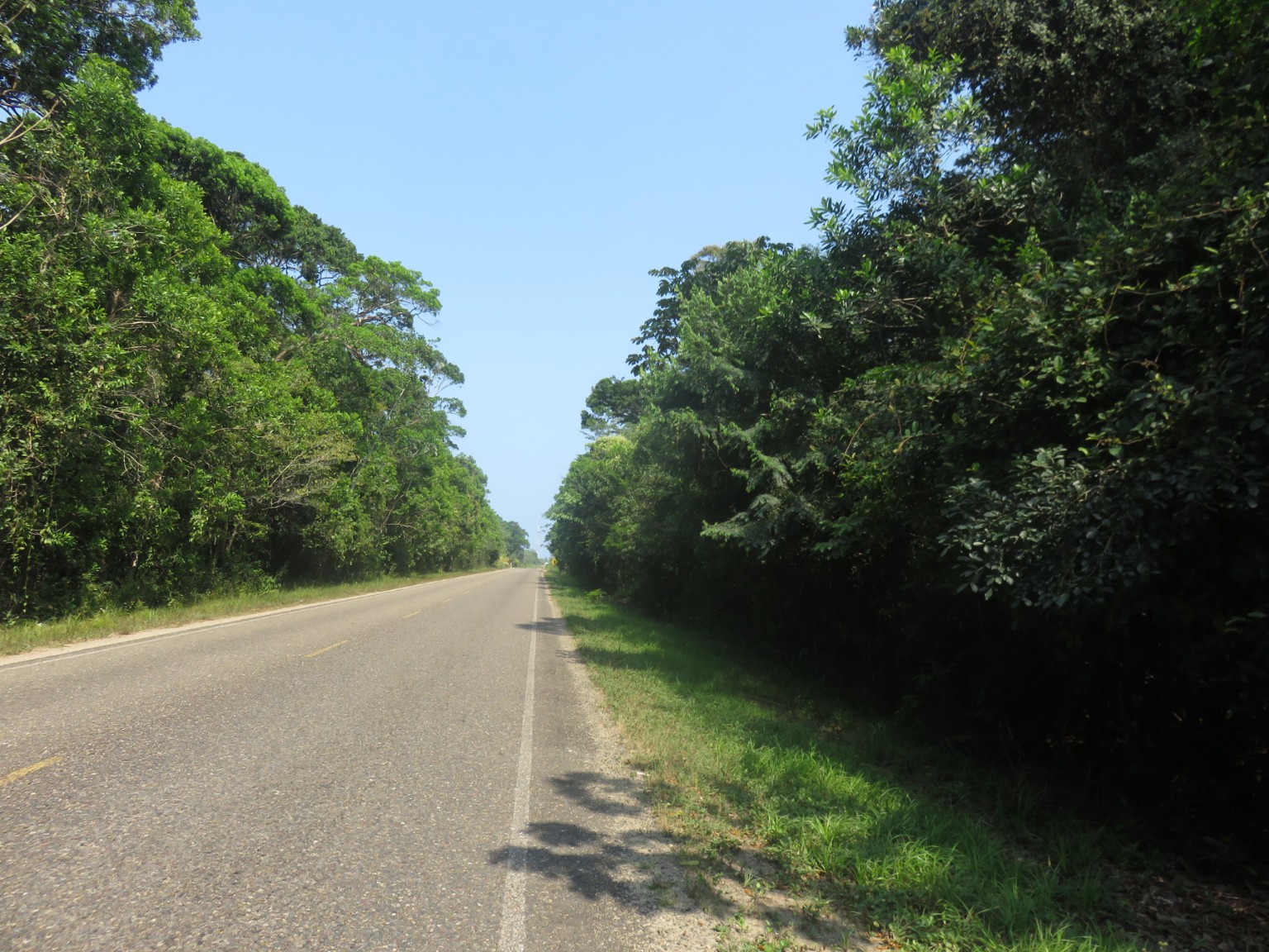
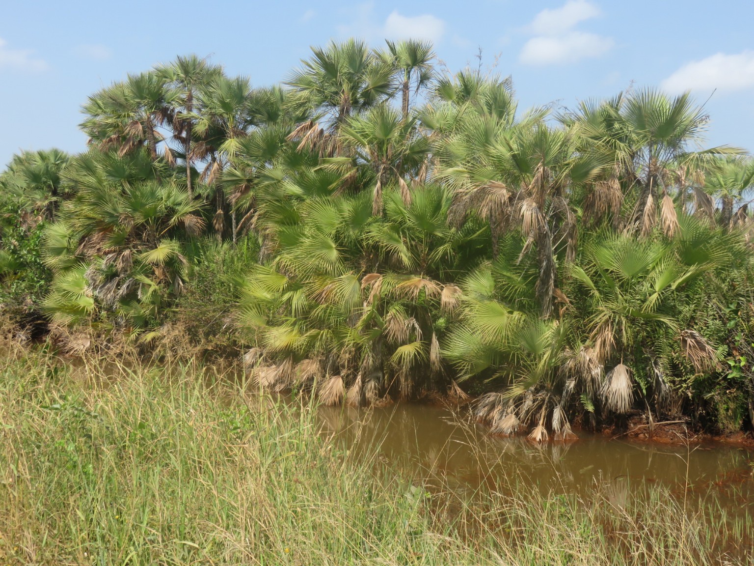
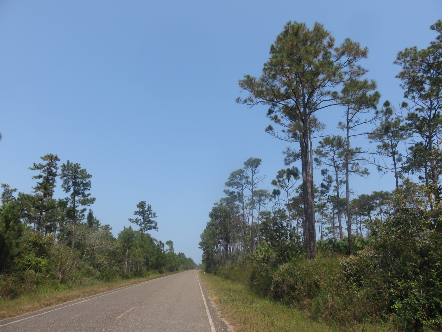
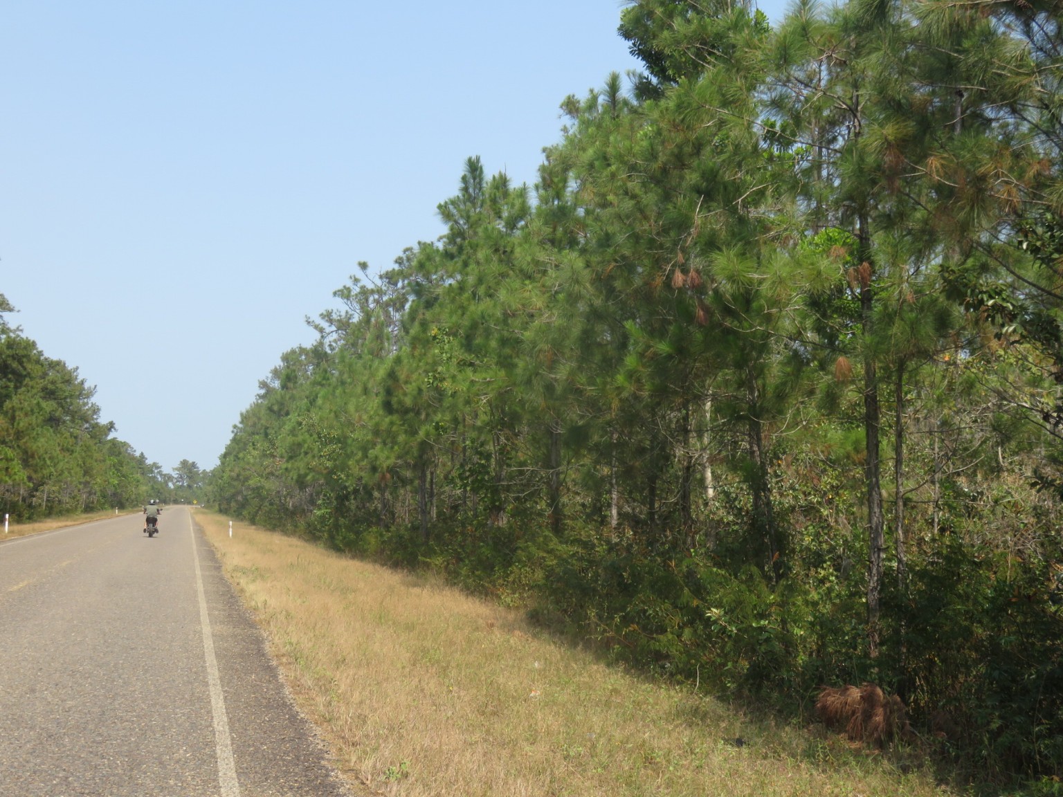
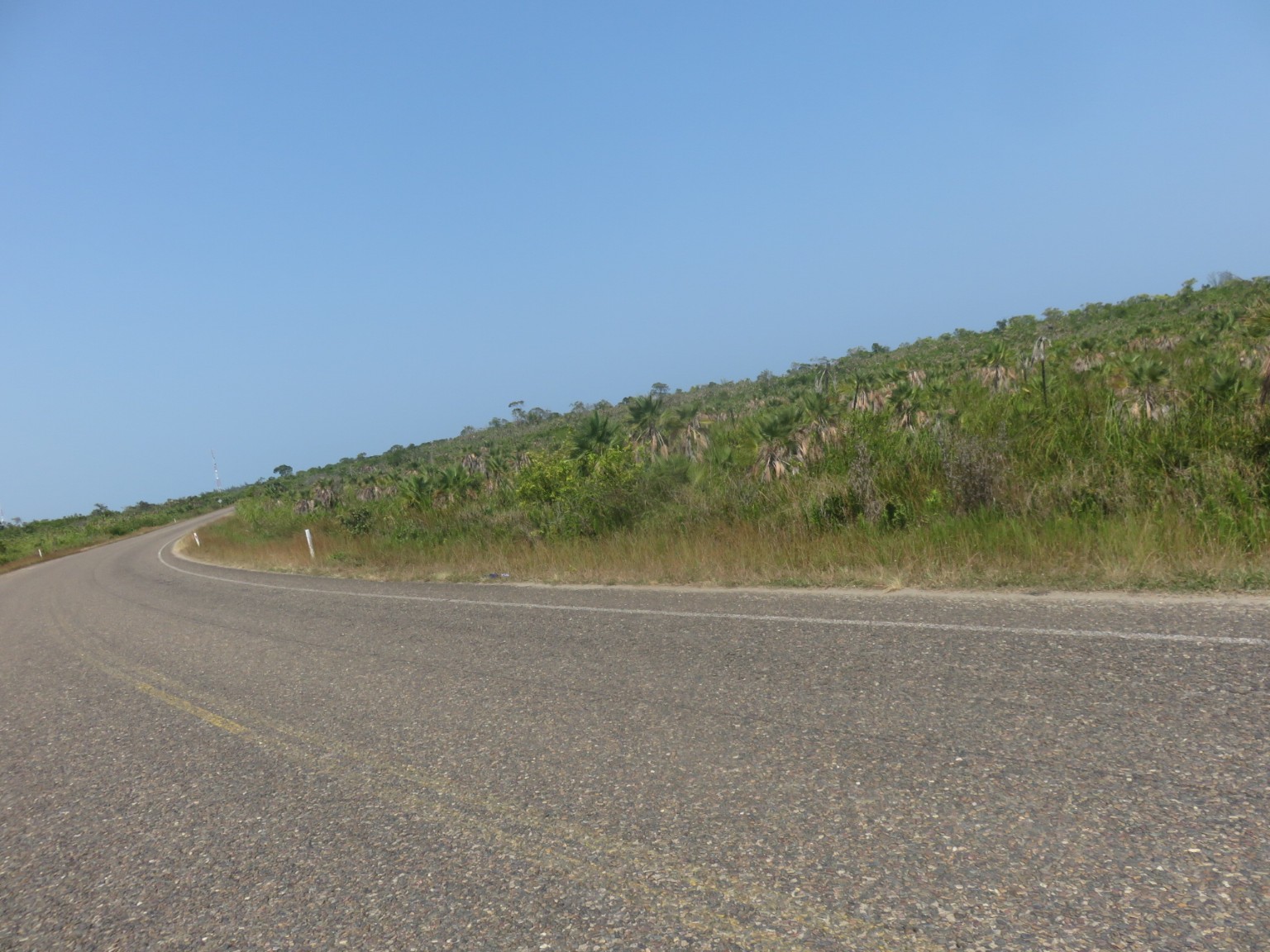
As usual amongst the prosperous houses are the abandoned properties.Back on the main road, the Southern Highway, it is the usual narrow single lane in each direction without any shoulder for us to use. Thankfully the road is still relatively free of traffic. The day’s scenery changes from mangrove swamp to bush to jungle to savannah such is the dominance of the natural habitat in this country. We are literally on a narrow ribbon of tarmac travelling through what is still largely untouched trees and vegetation.
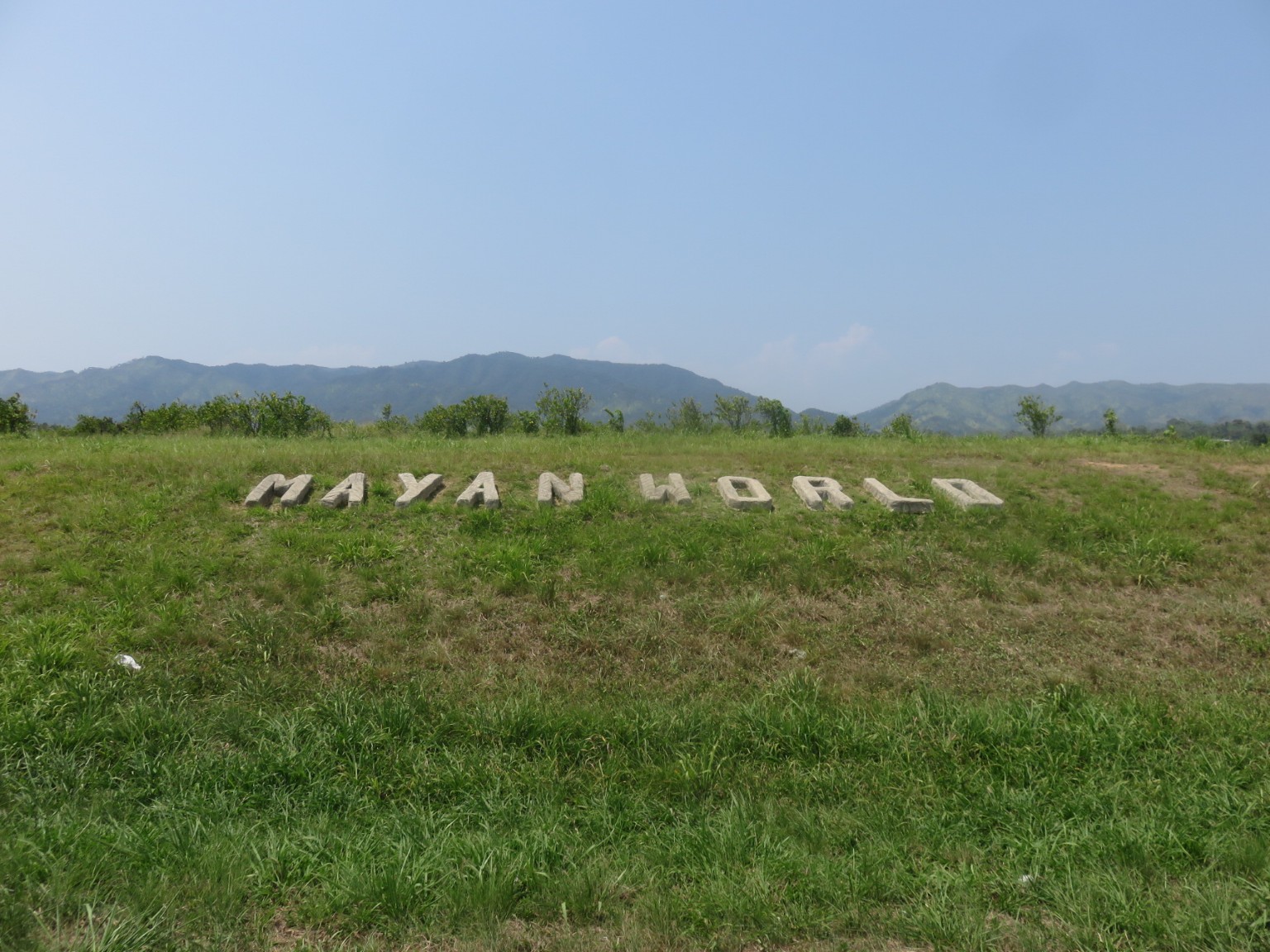
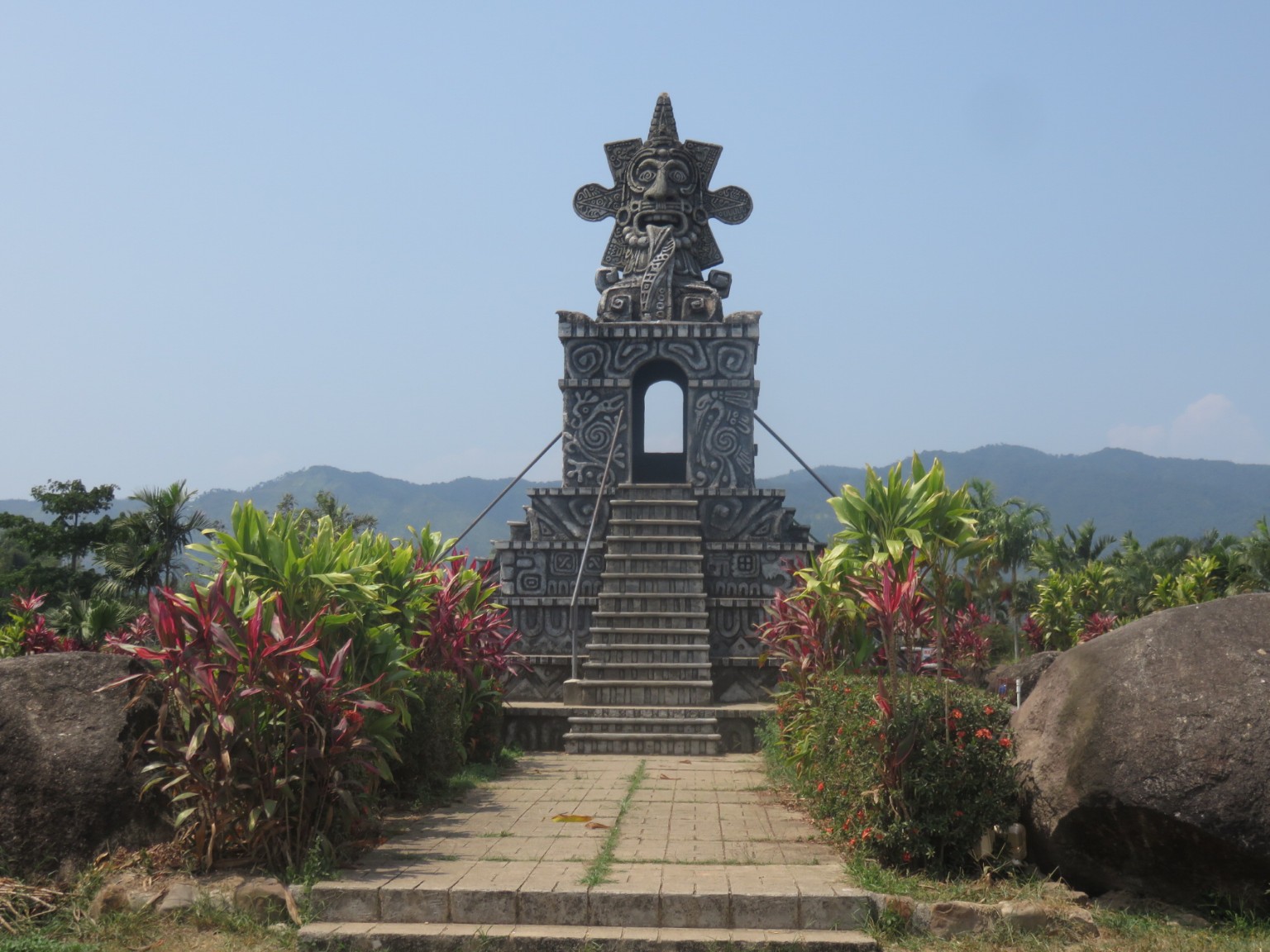
A bit low key compared to Chitzen Itza, however, a reminder that the Mayan civilisation once dominated this area.
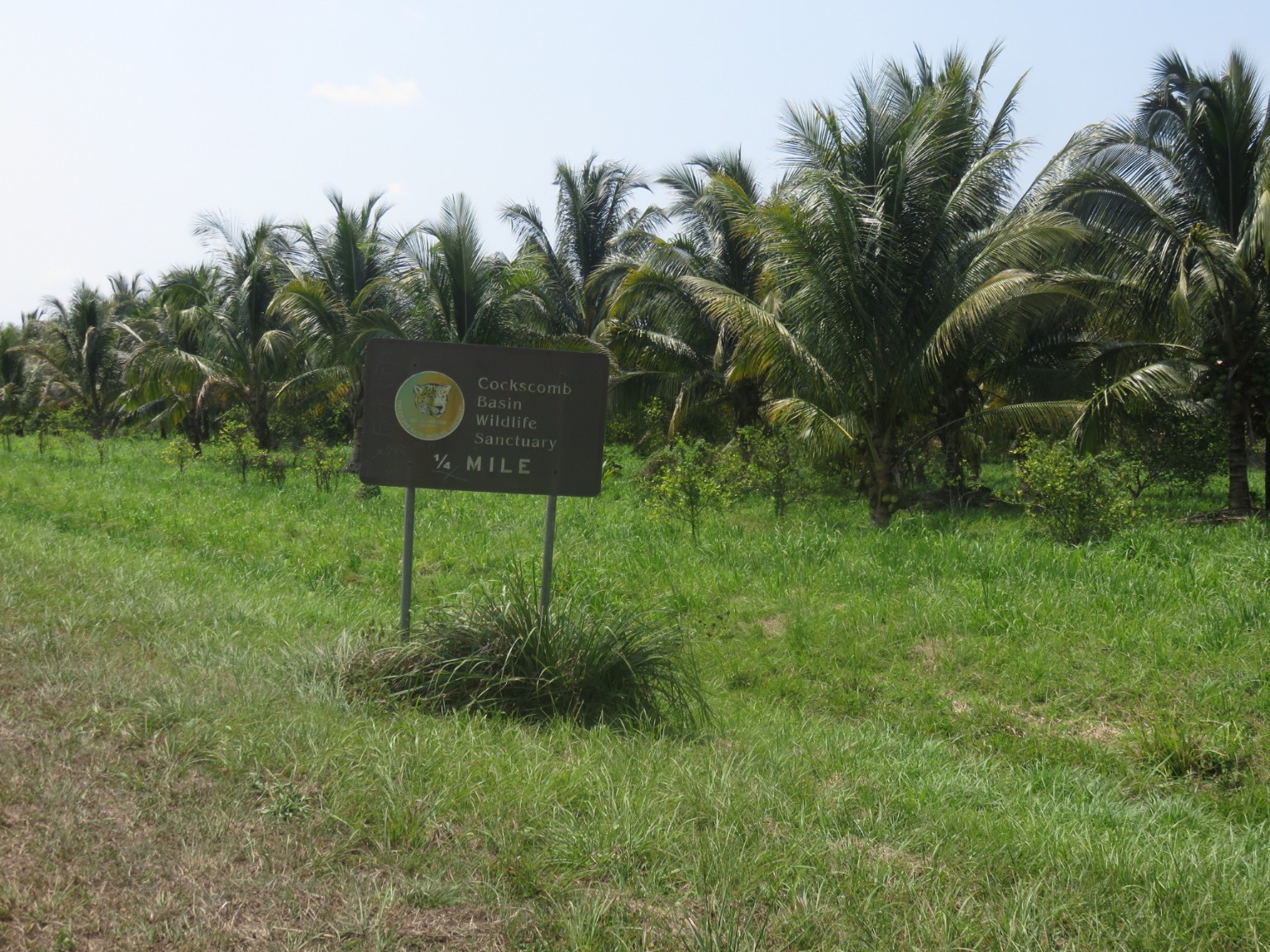
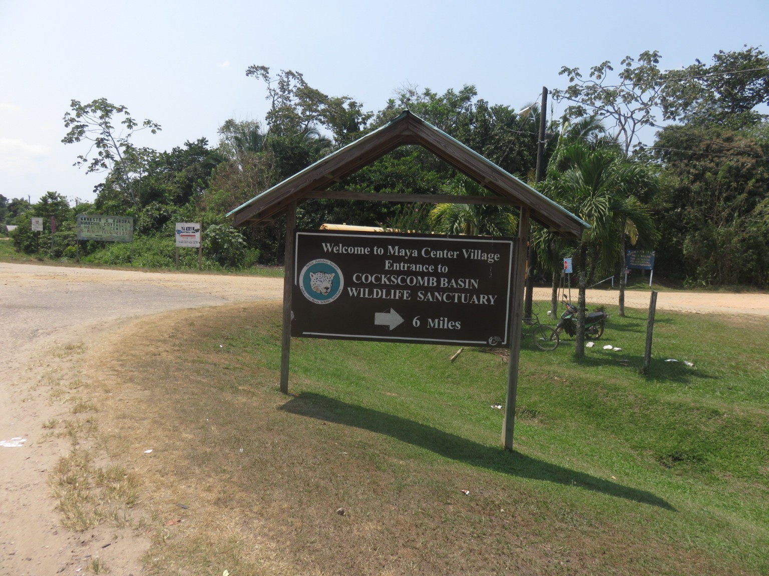
A metal bridge funded by the British when they were the colonial power in this country – it was then known as British Honduras.It is worth noting that large parts of the country are being preserved as sanctuaries, nature reserves and retained in their natural habitat. This is ideal for the environment although less helpful when planning a road trip because there is not any obvious circular tour that can be done – stages have to be backtracked or dead ends reached only to be U turned .
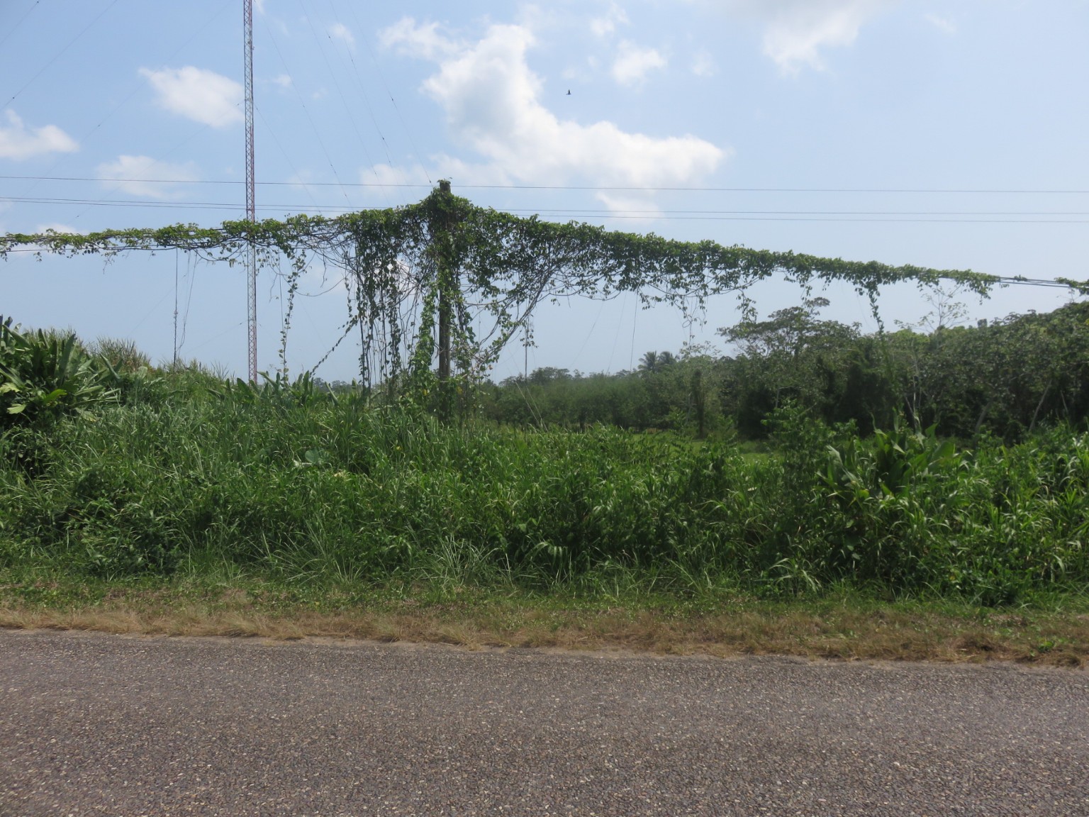
Another example that the jungle will reclaim the infrastructure if its not kept trimmed and cleared of the undergrowth – in this case electricity pylons and their attached cables.
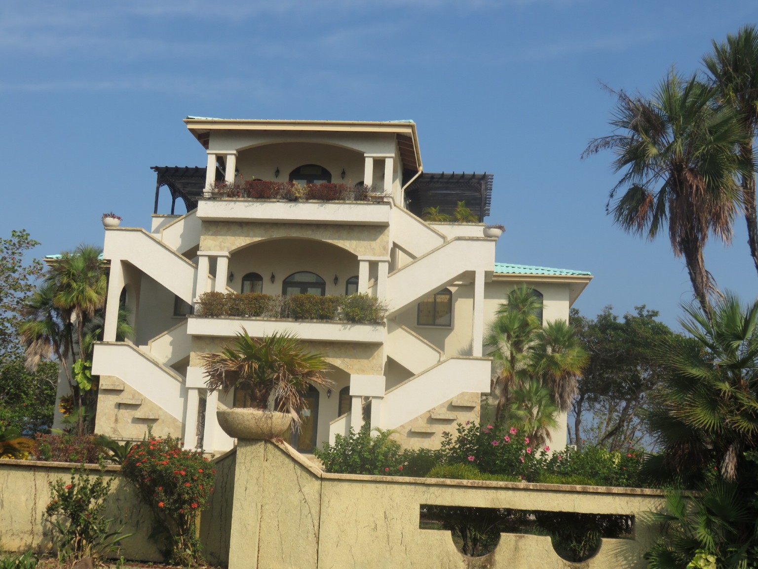
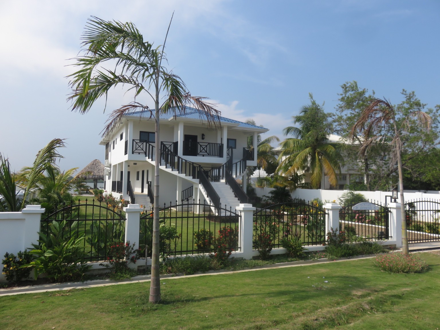
Now we begin the 25 mile ride along the only road that leads to a Caye (all the other Cayes have to be accessed by boat, unless you’re like Leonardo Di Caprio and can use a combination of private jet, superyacht and/or helicopter. There is a lagoon to our right and the Caribbean to our left; it is barely one property between each body of water. These houses are primarily owned by expats and, once again, those familiar with Florida will recognise the styles and plot layouts.
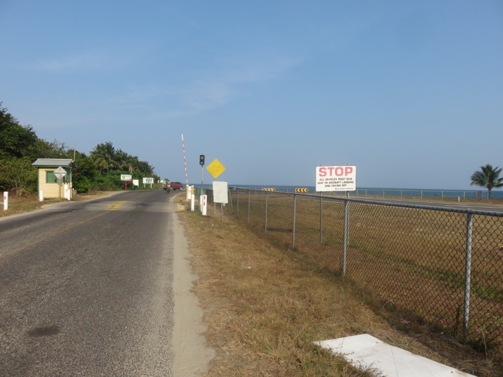
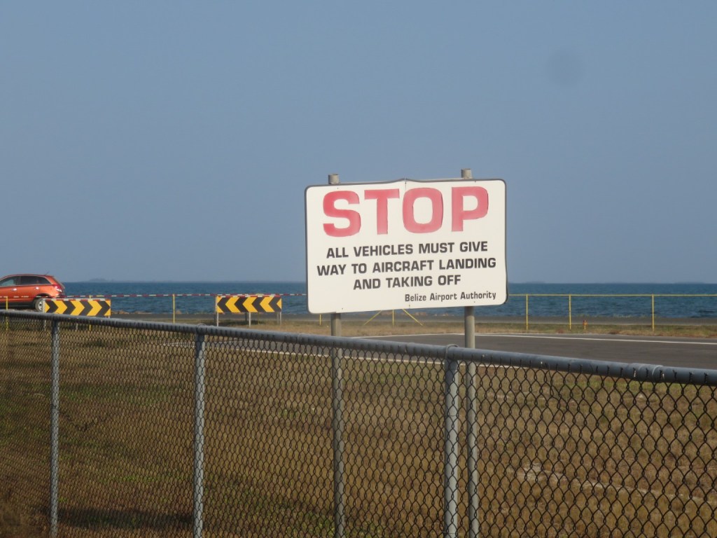
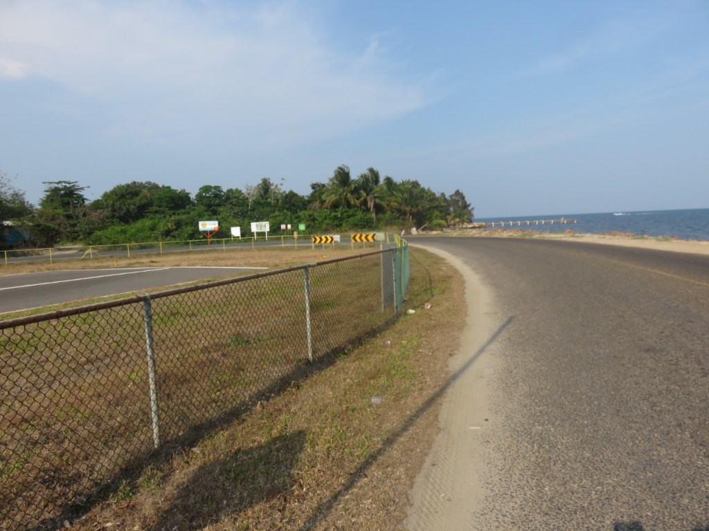
Those familiar with Gibraltar airport will recognise the proximity of runway and sea and the need to shut the road when aircraft take off and land. The only difference here is that the road goes around the end of the runway whereas in Gibraltar the road goes across the runway.
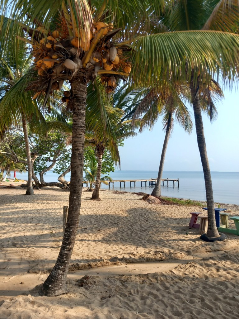
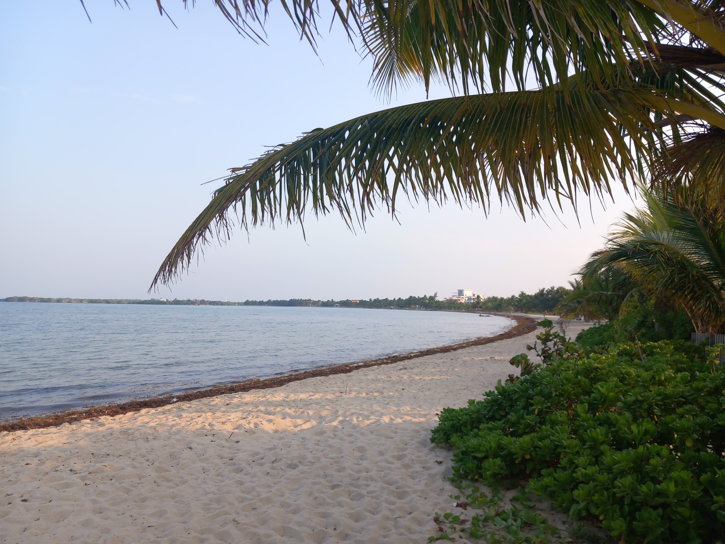
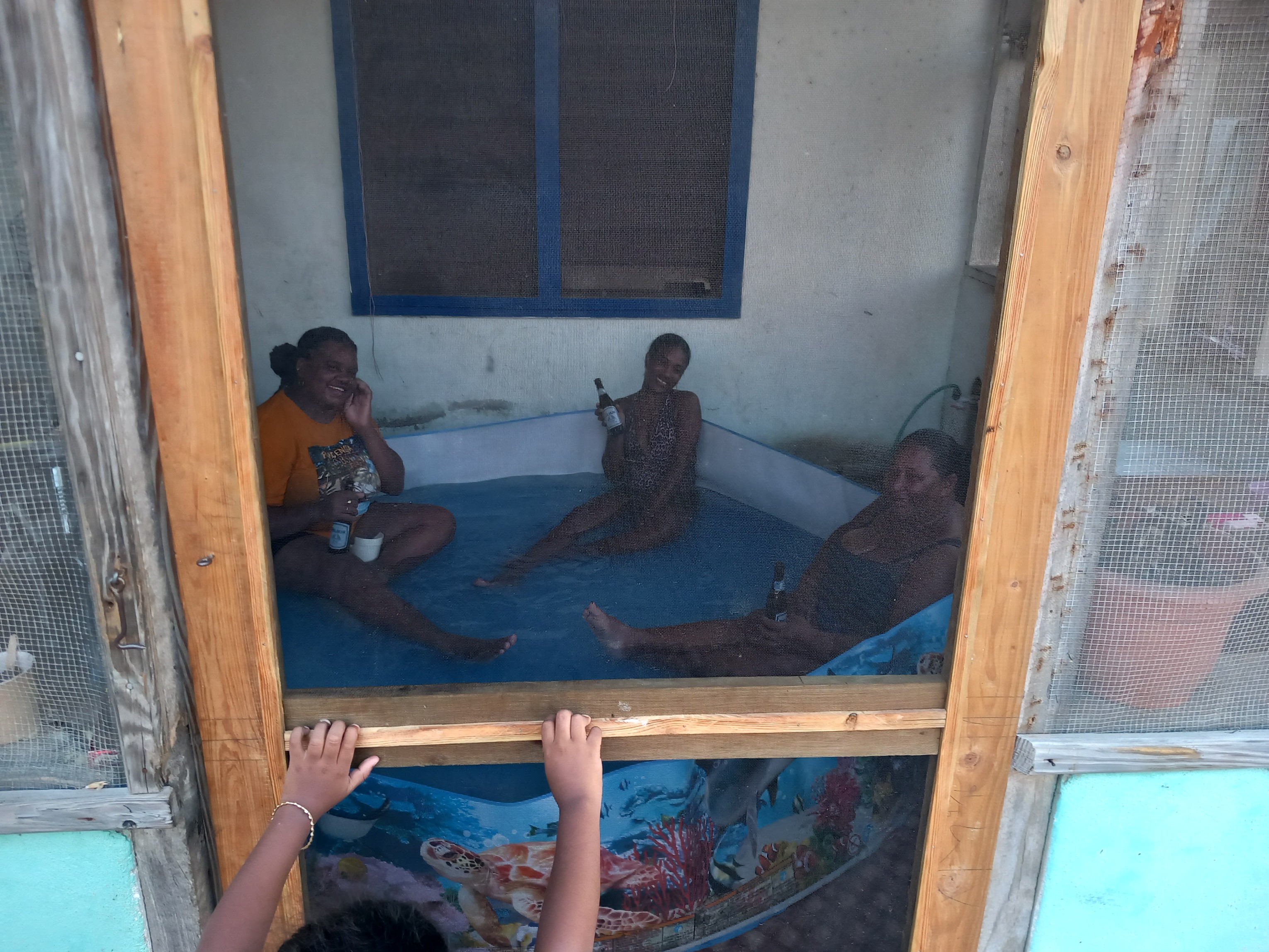
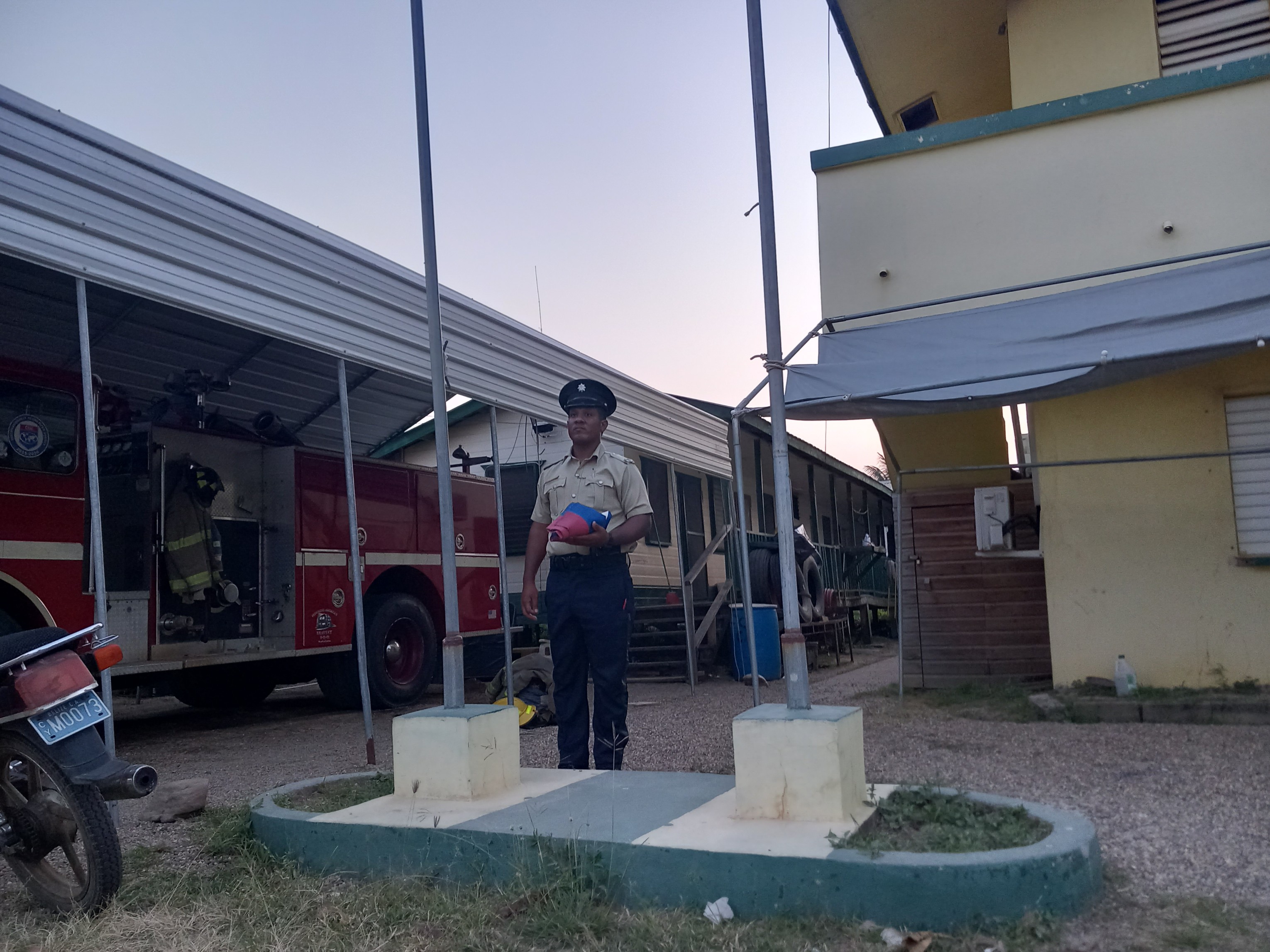
Paradise is still plagued by the seaweed. Interestingly from our observations the Mexicans were attempting to control the situation whereas the Belizeans seem to leave nature to its own devices.This family’s living room is next to the footpath as we go in search of dinner. The music is blaring and they are drinking and are seriously happy with their life. One of them was still in the paddling pool when we returned an hour later.At 6am every day the Police raise their flag and the Belizean flag. At 6pm every day the flags are lowered. When we asked why they do it the answer was that it has always been done since the British were here. The duty officer didn’t know why other than his father always did it before him until he retired.